


17,9 km | 22 km-effort

Utilisateur


Application GPS de randonnée GRATUITE
 SityTrail
IGN / Instituts géographiques
SityTrail World
Le monde est à vous
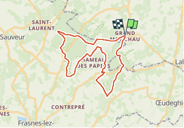
Randonnée Marche de 15,7 km à découvrir à Wallonie, Hainaut, Ellezelles. Cette randonnée est proposée par bDom007.
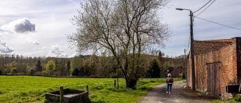
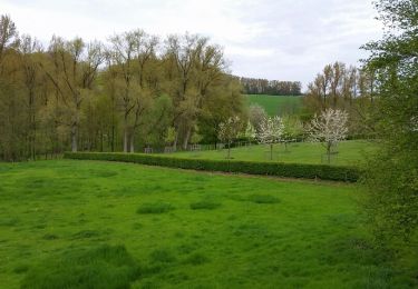
Paysages de monts et collines… Passage boueux et donc glissants si pluies ;-)
---------- Randonnée en boucle de 16 km du côté du "Pays des collines"…
----------
> Grand-Monchaut (parfois Grand-Monchau) - Ellezelles >>> Toutes les photos… de 298 >>> https://flic.kr/s/aHBqjAAKRz


Marche

Vélo électrique
V.T.T.
Marche
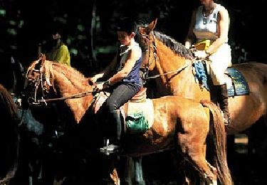
Cheval

Cheval

A pied

V.T.T.
A pied