


6,4 km | 9,7 km-effort

Utilisateur


Application GPS de randonnée GRATUITE
 SityTrail
IGN / Instituts géographiques
SityTrail World
Le monde est à vous
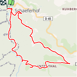
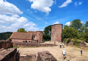
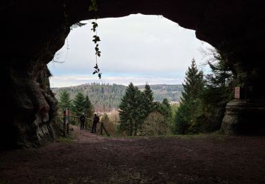
Randonnée Marche de 11,4 km à découvrir à Grand Est, Moselle, Hommert. Cette randonnée est proposée par markrei.
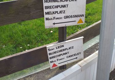
Schaeferhof-kleinmuh-MF Jaegerhof-Ententhal-Dabo-Le Petit Ballestein-Rocher des Corbeaux
Guide : Patrick Gruner


Marche

V.T.T.
Randonnée équestre
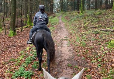
Randonnée équestre

Randonnée équestre
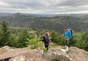
Marche
Marche
Marche