


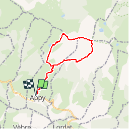

14,8 km | 25 km-effort


Utilisateur


Application GPS de randonnée GRATUITE
 SityTrail
IGN / Instituts géographiques
SityTrail World
Le monde est à vous
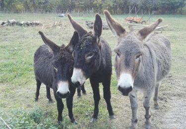
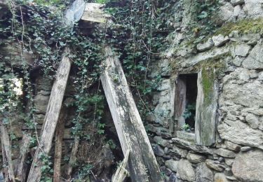
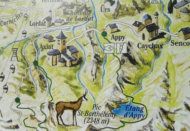
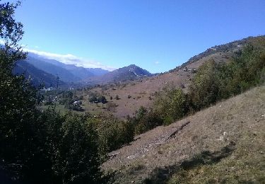
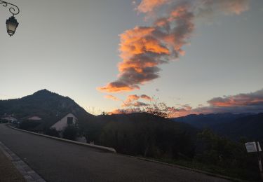
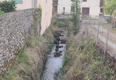
Randonnée Marche de 15 km à découvrir à Occitanie, Ariège, Appy. Cette randonnée est proposée par mherpin.
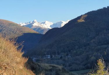
Descente en grande partie hors-sentier mais d'après les locaux il existe des sentes entre le pic des bugarels et la cabane de la jasse de sédars. Quelques passages où il faut poser les mains entre le pic sans nom 2169 et le col de girabal.
Marche
Marche
Marche
Marche
Marche
Marche
Marche
Marche