


23 km | 36 km-effort

Utilisateur


Application GPS de randonnée GRATUITE
 SityTrail
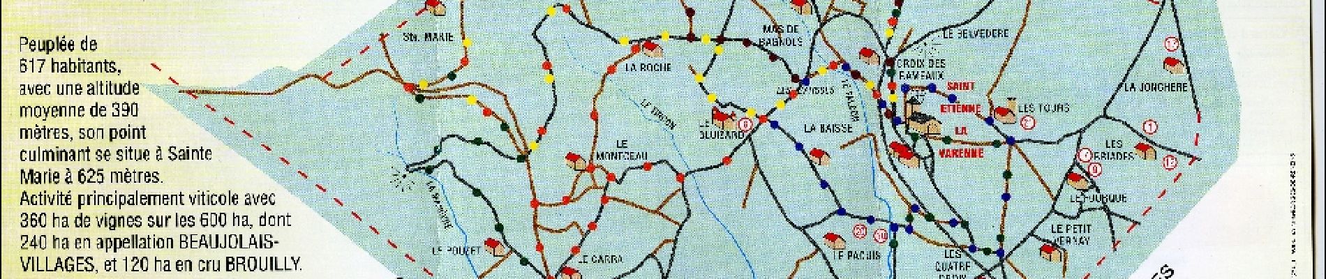
IGN / Instituts géographiques
SityTrail World
Le monde est à vous
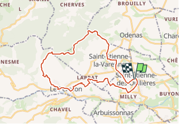
Randonnée A pied de 17,4 km à découvrir à Auvergne-Rhône-Alpes, Rhône, Saint-Étienne-des-Oullières. Cette randonnée est proposée par Jean-Marc C.
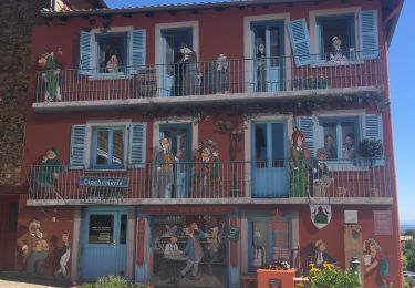
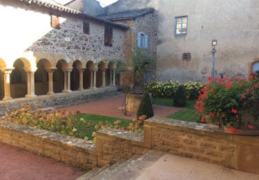
Depuis saint Etienne les Oullières, passage devant la tour Sarrasine, le village de Saint Etienne la Varenne et son église du XIIe, la ferme Sainte Marie.
Abri possible pour le pique-nique à la Cadole.
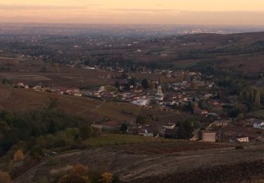
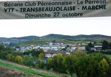
Point de vue et table d'orientation à la Madame.
traversée du village du Perréon et retour à Saint-Etienne des Oullières par le château de La Carelle.


A pied
A pied

Randonnée équestre

Marche
Marche
Marche
Marche

V.T.T.
V.T.T.