


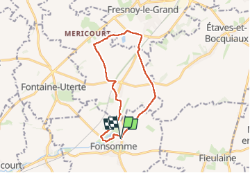

11,7 km | 13,3 km-effort


Utilisateur


Application GPS de randonnée GRATUITE
 SityTrail
IGN / Instituts géographiques
SityTrail World
Le monde est à vous
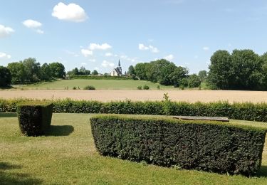
Randonnée Marche de 11,6 km à découvrir à Hauts-de-France, Aisne, Fonsomme. Cette randonnée est proposée par José800.
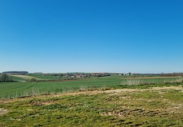
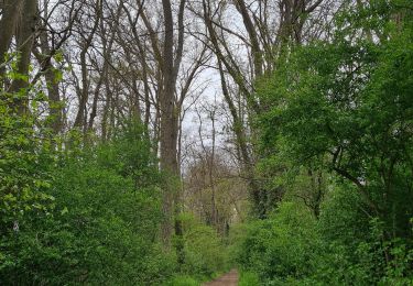
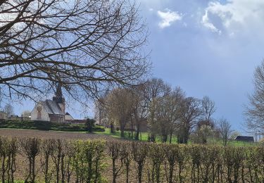
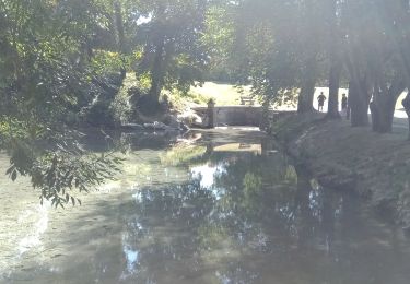
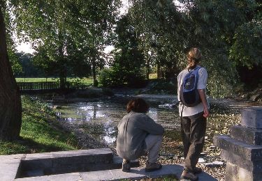
départ au source de la Somme au pied de l ancienne Abbaye de Fervaques à Fonsomme Aisne.Une très jolie randonnée entre chemins et petites routes de la campagne Vermandoise . le site est très agréablement aménagé pour les visiteurs et randonneurs.
Marche
Marche
Marche
Marche
Marche

Marche

V.T.T.
V.T.T.