


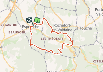

19,1 km | 26 km-effort


Utilisateur


Application GPS de randonnée GRATUITE
 SityTrail
IGN / Instituts géographiques
SityTrail World
Le monde est à vous
Randonnée Marche de 17,2 km à découvrir à Auvergne-Rhône-Alpes, Drôme, Espeluche. Cette randonnée est proposée par Danielle07.
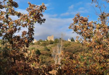
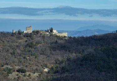
tracé en évitant le plus possible de piste, passage au très beau château de Rochefort en Valdaine, visite de village médiéval d'Espeluche
Parling au stade

Marche

V.T.T.

Marche
Marche


sport
Marche
Marche
Marche
Marche