


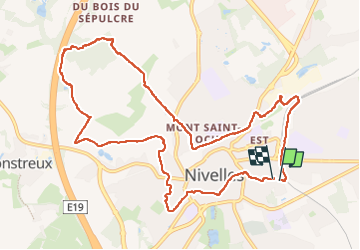

12,8 km | 15 km-effort


Utilisateur


Application GPS de randonnée GRATUITE
 SityTrail
IGN / Instituts géographiques
SityTrail World
Le monde est à vous
Randonnée Marche de 11,3 km à découvrir à Wallonie, Brabant wallon, Nivelles. Cette randonnée est proposée par Mady Lambert.
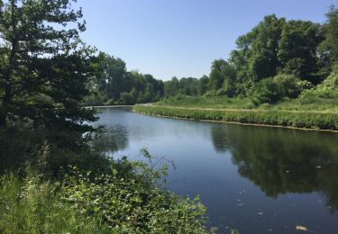
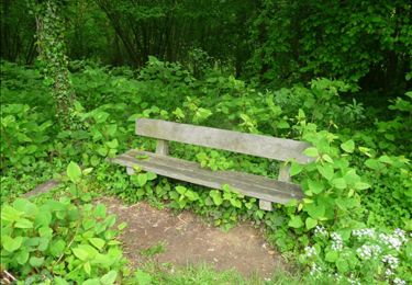
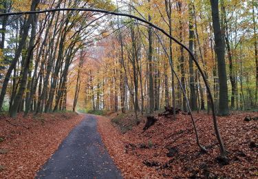
Variée, un peu de ville, forcément, champs et bois, et... GADOUE!!! Bonnes chaussures et guêtres voire bâtons de marché.


Marche

Marche

Marche

Marche

Marche

Marche
Marche
Marche nordique
Marche