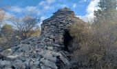
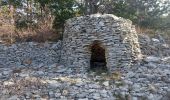
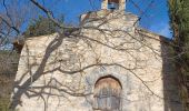
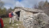
![](/images/other/stat-length.png)
![Randonnée Marche Saumane - SAUMANE JAS DE LA CHAPELAINE O N ** - Photo](https://media.geolcdn.com/t/1900/400/73ef4b4f-439c-401e-b91d-8b58dc5ccfd3.jpg&format=pjpeg&maxdim=2)
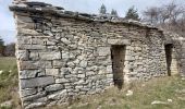
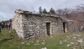
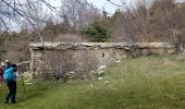
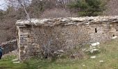
SAUMANE JAS DE LA CHAPELAINE O N **
RobinMicheline
Utilisateur GUIDE
![Longueur](/images/other/stat-length.png)
Longueur
17 km
![Altitude max](https://static1.geolcdn.com/siteimages/upload/files/1508320355ic_sort_altitude_max_24dp.png)
Altitude max
1340 m
![Dénivelé positif](https://static1.geolcdn.com/siteimages/upload/files/1508320355ic_sort_den_pos_24dp.png)
Dénivelé positif
656 m
![Km-Effort](/images/other/stat-length.png)
Km-Effort
26 km
![Altitude min](https://static1.geolcdn.com/siteimages/upload/files/1508320355ic_sort_altitude_min_24dp.png)
Altitude min
873 m
![Dénivelé négatif](https://static1.geolcdn.com/siteimages/upload/files/1508320355ic_sort_den_neg_24dp.png)
Dénivelé négatif
656 m
![Boucle](https://static1.geolcdn.com/siteimages/upload/files/16400158638029165_repeat_loop_refresh_sync_direction_icon.png)
Boucle
Oui
Date de création :
2023-04-01 07:04:59.109
Dernière modification :
2023-04-02 05:22:52.105
![Marche](https://static1.geolcdn.com/sitytour/trail-icons/101.png)
4h48
Difficulté : Difficile
![Scannez ce code QR pour ouvrir la randonnée dans l'application SityTrail](https://capi.geolives.com/qq0zvz2zws4bq2lad0pu/sitytour/trails/3605327/qr.png?size=200)
Application GPS de randonnée GRATUITE
À propos
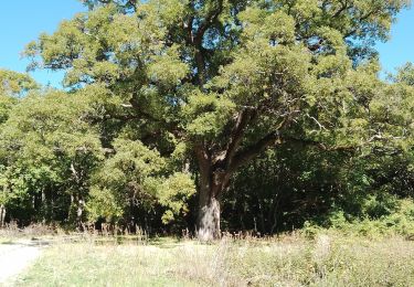
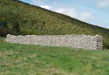
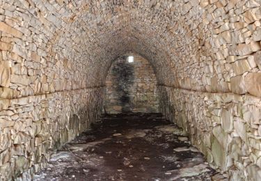
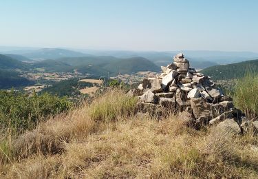
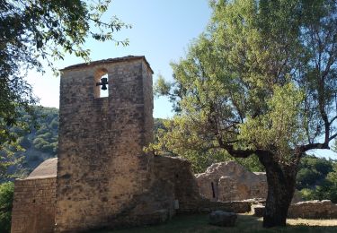
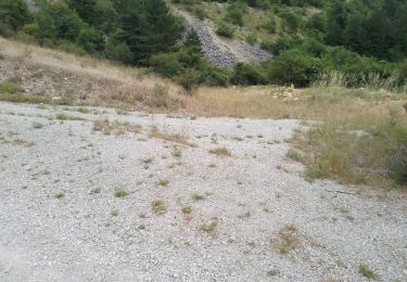
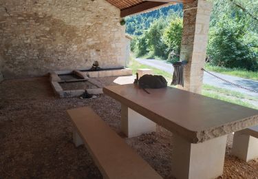
Randonnée Marche de 17 km à découvrir à Provence-Alpes-Côte d'Azur, Alpes-de-Haute-Provence, Saumane. Cette randonnée est proposée par RobinMicheline.
Description
Magnifique
Localisation
Pays :
France
Région :
Provence-Alpes-Côte d'Azur
Département/Province :
Alpes-de-Haute-Provence
Commune :
Saumane
Localité :
Unknown
Départ:(Dec)
Départ:(UTM)
715421 ; 4885420 (31T) N.
Commentaires
Randonnées à proximité
![Randonnée Marche Saumane - saumane goi contras 17.84kms 1090m - Photo](https://media.geolcdn.com/t/375/260/20c3a9ba-a0f5-4413-9bd6-d5e992059cd1.jpg&format=jpg&maxdim=2)
![Marche Marche](https://static1.geolcdn.com/sitytour/trail-icons/101.png)
saumane goi contras 17.84kms 1090m
Marche
Moyen
Saumane,
Provence-Alpes-Côte d'Azur,
Alpes-de-Haute-Provence,
France
![](/images/other/stat-length.png)
17,3 km | 29 km-effort
6h 58min
![](https://static1.geolcdn.com/siteimages/upload/files/16400158638029165_repeat_loop_refresh_sync_direction_icon.png)
Oui
![Randonnée Marche Lardiers - lardiers.le jas du grand chêne - Photo](https://media.geolcdn.com/t/375/260/a20a7e86-9075-402d-9419-9da41fb93e79.jpg&format=jpg&maxdim=2)
![Marche Marche](https://static1.geolcdn.com/sitytour/trail-icons/101.png)
lardiers.le jas du grand chêne
Marche
Moyen
Lardiers,
Provence-Alpes-Côte d'Azur,
Alpes-de-Haute-Provence,
France
![](/images/other/stat-length.png)
9,1 km | 13,6 km-effort
3h 30min
![](https://static1.geolcdn.com/siteimages/upload/files/16400158638029165_repeat_loop_refresh_sync_direction_icon.png)
Oui
![Randonnée Marche Lardiers - lardiers. du grand chêne à la bergerie inconnue - Photo](https://media.geolcdn.com/t/375/260/e56507b0-667f-45e8-a4de-a1d444c78beb.jpg&format=jpg&maxdim=2)
![Marche Marche](https://static1.geolcdn.com/sitytour/trail-icons/101.png)
lardiers. du grand chêne à la bergerie inconnue
Marche
Moyen
Lardiers,
Provence-Alpes-Côte d'Azur,
Alpes-de-Haute-Provence,
France
![](/images/other/stat-length.png)
10,1 km | 15,9 km-effort
4h 2min
![](https://static1.geolcdn.com/siteimages/upload/files/16400158638029165_repeat_loop_refresh_sync_direction_icon.png)
Oui
![Randonnée Marche La Rochegiron - larochegiron.fon martine - Photo](https://media.geolcdn.com/t/375/260/930a888f-876d-4f7e-b713-2559d56cf7a6.jpg&format=jpg&maxdim=2)
![Marche Marche](https://static1.geolcdn.com/sitytour/trail-icons/101.png)
larochegiron.fon martine
Marche
Moyen
La Rochegiron,
Provence-Alpes-Côte d'Azur,
Alpes-de-Haute-Provence,
France
![](/images/other/stat-length.png)
8,7 km | 12,6 km-effort
3h 51min
![](https://static1.geolcdn.com/siteimages/upload/files/16400158638029165_repeat_loop_refresh_sync_direction_icon.png)
Oui
![Randonnée Marche L'Hospitalet - les bergeries de saumane. 1 - Photo](https://media.geolcdn.com/t/375/260/51fa219d-c840-498f-b20a-c82c3d653a33.jpg&format=jpg&maxdim=2)
![Marche Marche](https://static1.geolcdn.com/sitytour/trail-icons/101.png)
les bergeries de saumane. 1
Marche
Difficile
L'Hospitalet,
Provence-Alpes-Côte d'Azur,
Alpes-de-Haute-Provence,
France
![](/images/other/stat-length.png)
11,7 km | 16,8 km-effort
4h 27min
![](https://static1.geolcdn.com/siteimages/upload/files/16400158638029165_repeat_loop_refresh_sync_direction_icon.png)
Oui
![Randonnée Marche L'Hospitalet - saumane . les girons, clos guilhen, foureynard, la tour - Photo](https://media.geolcdn.com/t/375/260/ba947679-c7d3-47dc-86a0-f24c413ba15a.jpg&format=jpg&maxdim=2)
![Marche Marche](https://static1.geolcdn.com/sitytour/trail-icons/101.png)
saumane . les girons, clos guilhen, foureynard, la tour
Marche
Moyen
L'Hospitalet,
Provence-Alpes-Côte d'Azur,
Alpes-de-Haute-Provence,
France
![](/images/other/stat-length.png)
10,4 km | 14,8 km-effort
3h 54min
![](https://static1.geolcdn.com/siteimages/upload/files/16400158638029165_repeat_loop_refresh_sync_direction_icon.png)
Oui
![Randonnée Marche La Rochegiron - la rochegiron 04.fon Martine, la blanchere, veire - Photo](https://media.geolcdn.com/t/375/260/1cfdc527-2f27-4eb2-bfbb-ee96eaef5c73.jpg&format=jpg&maxdim=2)
![Marche Marche](https://static1.geolcdn.com/sitytour/trail-icons/101.png)
la rochegiron 04.fon Martine, la blanchere, veire
Marche
Moyen
La Rochegiron,
Provence-Alpes-Côte d'Azur,
Alpes-de-Haute-Provence,
France
![](/images/other/stat-length.png)
8,7 km | 12,4 km-effort
2h 52min
![](https://static1.geolcdn.com/siteimages/upload/files/16400158638029165_repeat_loop_refresh_sync_direction_icon.png)
Oui
![Randonnée Marche L'Hospitalet - l hospitalet. les anglais.la plus haute grange.la bergerie sans nom - Photo](https://media.geolcdn.com/t/375/260/6910d221-eaf9-474a-baa1-e91b527643b8.jpg&format=jpg&maxdim=2)
![Marche Marche](https://static1.geolcdn.com/sitytour/trail-icons/101.png)
l hospitalet. les anglais.la plus haute grange.la bergerie sans nom
Marche
Facile
L'Hospitalet,
Provence-Alpes-Côte d'Azur,
Alpes-de-Haute-Provence,
France
![](/images/other/stat-length.png)
5,6 km | 8,4 km-effort
2h 6min
![](https://static1.geolcdn.com/siteimages/upload/files/16400158638029165_repeat_loop_refresh_sync_direction_icon.png)
Oui
![Randonnée Marche Saumane - saumane.le chant de l amant - Photo](https://media.geolcdn.com/t/375/260/b14f0920-738a-4b55-aa9c-e691297c0c68.jpg&format=jpg&maxdim=2)
![Marche Marche](https://static1.geolcdn.com/sitytour/trail-icons/101.png)
saumane.le chant de l amant
Marche
Facile
Saumane,
Provence-Alpes-Côte d'Azur,
Alpes-de-Haute-Provence,
France
![](/images/other/stat-length.png)
6,4 km | 8,8 km-effort
2h 25min
![](https://static1.geolcdn.com/siteimages/upload/files/16400158638029165_repeat_loop_refresh_sync_direction_icon.png)
Oui