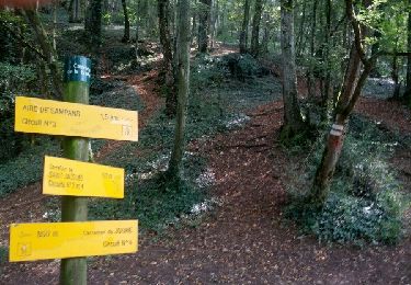
11,8 km | 15,4 km-effort
Authume 20230329
cmike39
Utilisateur
Longueur
12,3 km
Altitude max
341 m
Dénivelé positif
125 m
Km-Effort
14,2 km
Altitude min
225 m
Dénivelé négatif
202 m
Boucle
Non
Date de création :
2023-03-29 08:20:53.583
Dernière modification :
2023-03-29 09:14:01.473
48m
Difficulté : Facile
Application GPS de randonnée GRATUITE
À propos
Randonnée V.T.T. de 12,3 km à découvrir à Bourgogne-Franche-Comté, Jura, Jouhe. Cette randonnée est proposée par cmike39.
Localisation
Pays :
France
Région :
Bourgogne-Franche-Comté
Département/Province :
Jura
Commune :
Jouhe
Localité :
Unknown
Départ:(Dec)
Départ:(UTM)
688598 ; 5222636 (31T) N.
Commentaires
Randonnées à proximité
Mont Roland 11.7km 20161215
Marche
Très facile
(2)
Jouhe,
Bourgogne-Franche-Comté,
Jura,
France
3h 18min
Oui
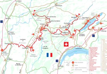
Via Cluny: de Dole (Jura) à Cluny (Bourgogne)
Marche
Très difficile
Dole,
Bourgogne-Franche-Comté,
Jura,
France
360 km | 478 km-effort
108h 38min
Non
mn05
Vélo de route
Très difficile
Dole,
Bourgogne-Franche-Comté,
Jura,
France
58 km | 63 km-effort
7h 44min
Non
Archelange Mont Roland 2021-02-02 CAF
Marche
Moyen
Archelange,
Bourgogne-Franche-Comté,
Jura,
France
22 km | 28 km-effort
4h 23min
Oui
Chatenois 14 mai 2020 Pierre R
Marche
Difficile
(1)
Châtenois,
Bourgogne-Franche-Comté,
Jura,
France
20 km | 26 km-effort
5h 36min
Oui
g)Etapa 7
Marche
Facile
Jouhe,
Bourgogne-Franche-Comté,
Jura,
France
26 km | 31 km-effort
2h 4min
Non
Bletterans
Vélo
Difficile
Dole,
Bourgogne-Franche-Comté,
Jura,
France
125 km | 138 km-effort
6h 11min
Oui
Circuit Mont-Roland
Marche nordique
Difficile
Jouhe,
Bourgogne-Franche-Comté,
Jura,
France
11 km | 16,1 km-effort
2h 9min
Oui