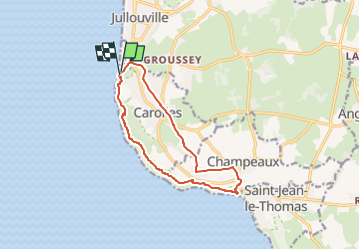

6,7 km | 8,6 km-effort


Utilisateur


Application GPS de randonnée GRATUITE
 SityTrail
IGN / Instituts géographiques
SityTrail World
Le monde est à vous
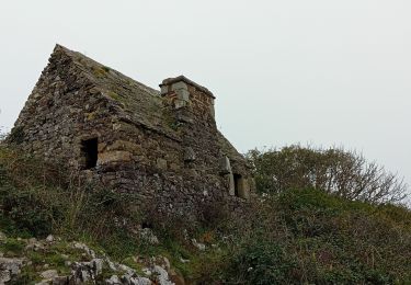
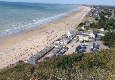
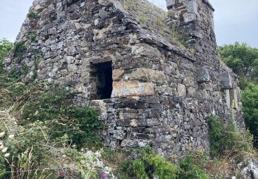
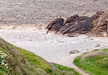
Randonnée Marche de 11,6 km à découvrir à Normandie, Manche, Carolles. Cette randonnée est proposée par dmj41.
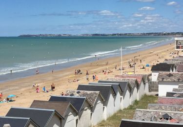
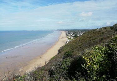
Rando sur les Falaises de Champeaux en partant du Parking des Falaises à Carolles-sur-mer
(possibilité de commencer du parking de la Croix Paqueray, pour ne pas démarrer par les marches
Marche
Marche
Marche
Marche
Marche
Marche
Marche nordique
Marche