


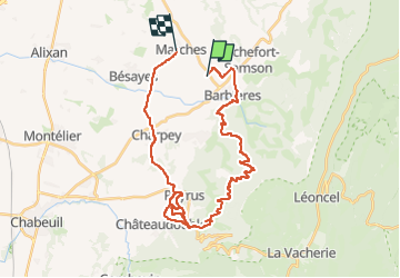

17,1 km | 28 km-effort


Utilisateur


Application GPS de randonnée GRATUITE
 SityTrail
IGN / Instituts géographiques
SityTrail World
Le monde est à vous
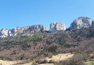
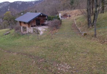
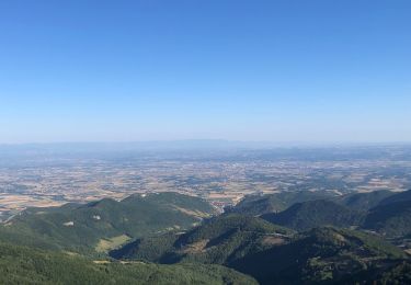
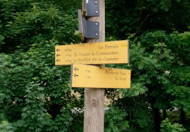
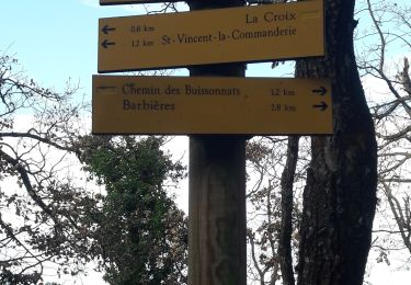
Randonnée V.T.T. de 35 km à découvrir à Auvergne-Rhône-Alpes, Drôme, Bésayes. Cette randonnée est proposée par CLAVELOUX26.
peyrus
Marche

Marche
Marche

Marche

Marche

Marche
Marche
Marche
Marche