

Saillans-Chapelle Saint Christophe-Drome

ThierryJ01
Utilisateur

Longueur
14 km

Altitude max
660 m

Dénivelé positif
445 m

Km-Effort
20 km

Altitude min
262 m

Dénivelé négatif
449 m
Boucle
Oui
Date de création :
2023-03-23 20:51:09.407
Dernière modification :
2023-03-23 20:56:00.408
4h33
Difficulté : Très difficile

Application GPS de randonnée GRATUITE
À propos
Randonnée Marche de 14 km à découvrir à Auvergne-Rhône-Alpes, Drôme, Saillans. Cette randonnée est proposée par ThierryJ01.
Description
Du village animé de Saillans avec ses ruelles, arcades, fontaines…, en passant par les vasques bleu turquoise du Rieussec, grimpez jusqu’à la chapelle Saint-Christophe. Elle fait face aux Trois Becs !
Localisation
Pays :
France
Région :
Auvergne-Rhône-Alpes
Département/Province :
Drôme
Commune :
Saillans
Localité :
Unknown
Départ:(Dec)
Départ:(UTM)
674303 ; 4951707 (31T) N.
Commentaires
Randonnées à proximité

Grande Traversée des PréAlpes à VTT : variante Saillans - Montmorin


V.T.T.
Très difficile
(1)
Saillans,
Auvergne-Rhône-Alpes,
Drôme,
France

74 km | 113 km-effort
11h 0min
Non
26 gaudichard zel


Marche
Moyen
Saillans,
Auvergne-Rhône-Alpes,
Drôme,
France

18,2 km | 32 km-effort
7h 42min
Oui
26 saillans gaudichard


Marche
Moyen
Saillans,
Auvergne-Rhône-Alpes,
Drôme,
France

16,2 km | 28 km-effort
6h 25min
Non
montagne de Farraud


Marche
Moyen
Chastel-Arnaud,
Auvergne-Rhône-Alpes,
Drôme,
France

14,7 km | 26 km-effort
4h 22min
Oui
saint sauveur en diois


Marche
Très facile
Saint-Sauveur-en-Diois,
Auvergne-Rhône-Alpes,
Drôme,
France

5 km | 6,7 km-effort
1h 46min
Oui
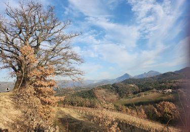
saint Michel Aubenasson


Marche
Moyen
Aubenasson,
Auvergne-Rhône-Alpes,
Drôme,
France

19,7 km | 24 km-effort
3h 45min
Non
26 espenel zel


Marche
Difficile
Espenel,
Auvergne-Rhône-Alpes,
Drôme,
France

15 km | 28 km-effort
8h 22min
Non
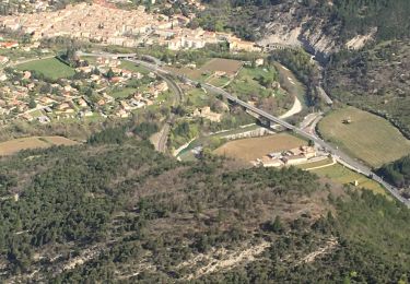
Cresta


Marche
Très difficile
Saillans,
Auvergne-Rhône-Alpes,
Drôme,
France

14 km | 27 km-effort
6h 12min
Oui
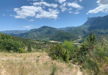
Grande boucle au départ de Saillans


Marche
Difficile
Saillans,
Auvergne-Rhône-Alpes,
Drôme,
France

32 km | 45 km-effort
8h 0min
Oui


 SityTrail


