


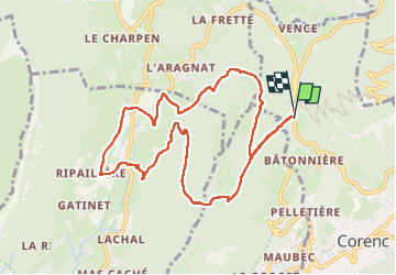

10,9 km | 26 km-effort


Utilisateur


Application GPS de randonnée GRATUITE
 SityTrail
IGN / Instituts géographiques
SityTrail World
Le monde est à vous
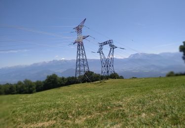
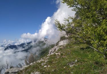
Randonnée Marche de 10,5 km à découvrir à Auvergne-Rhône-Alpes, Isère, Corenc. Cette randonnée est proposée par Jules Nury.
La plupart des chemins empruntés ne sont pas balisés. Certains sont raides. Pas de difficulté majeure mais ce n'est pas une randonnée "familiale ".

Marche

V.T.T.
A pied

Marche

V.T.T.
Marche
Marche
Marche
Marche