


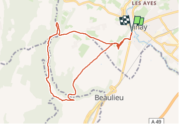

15,8 km | 31 km-effort

Utilisateur


Application GPS de randonnée GRATUITE
 SityTrail
IGN / Instituts géographiques
SityTrail World
Le monde est à vous
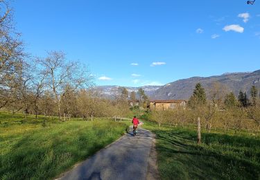
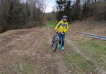
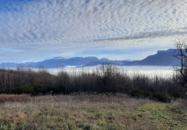
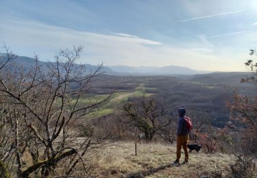
Randonnée V.T.T. de 9,2 km à découvrir à Auvergne-Rhône-Alpes, Isère, Vinay. Cette randonnée est proposée par crocau.


Marche
Vélo de route
V.T.T.
V.T.T.
Marche
Marche
Marche
Marche
Marche
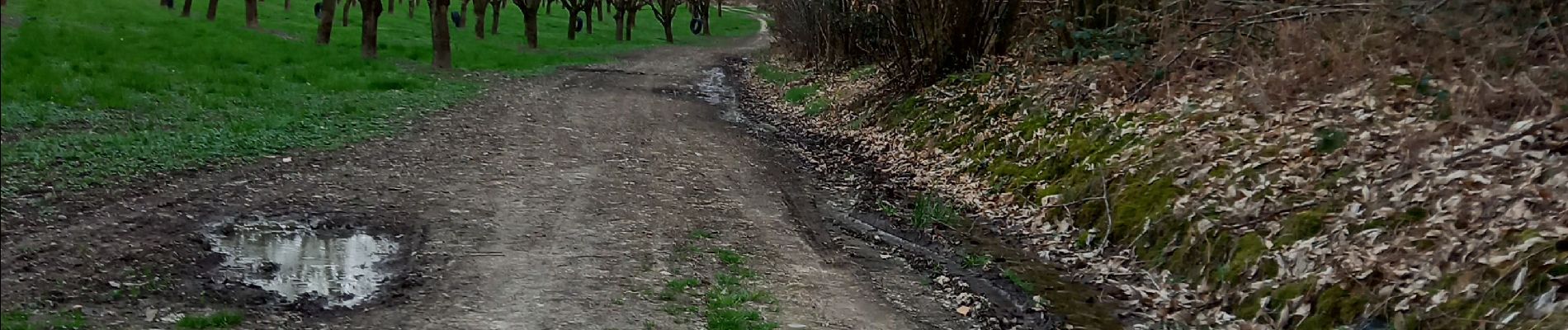
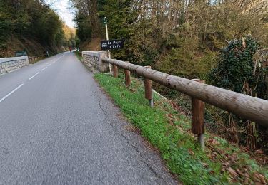
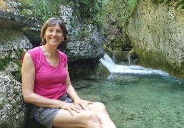
randonnée agréable mais aussi sportive. Parfois le chemin est très etroit le long de la rivière..