


12,7 km | 25 km-effort

Utilisateur


Application GPS de randonnée GRATUITE
 SityTrail
IGN / Instituts géographiques
SityTrail World
Le monde est à vous
Randonnée Marche de 14,7 km à découvrir à Provence-Alpes-Côte d'Azur, Alpes-Maritimes, Bairols. Cette randonnée est proposée par GrouGary.
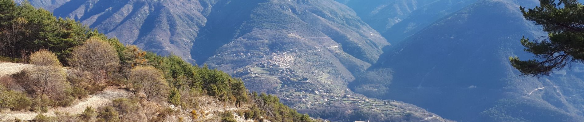
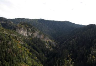
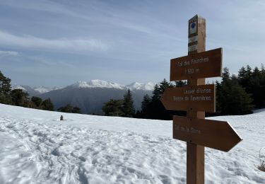
Gros dénivelés (balises 192-191-190 196) pour le trajet de Bairols à la Pointe des 4 cantons, mais sans difficultés techniques. Monter dans le vallon en suivant les cairns sous le rocher de Baume percée.
Retour jusqu'à la balise 196 puis remonter sur une centaine de mètre en empruntant un agréable ancien chemin forestier couvert. Au col de l'Espella (balise 197) continuer vers l'Est dans le descente superbe vers Bairols, traversant d'anciennes restanques.
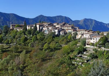
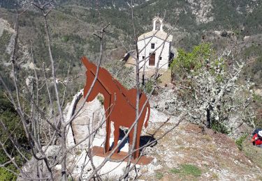
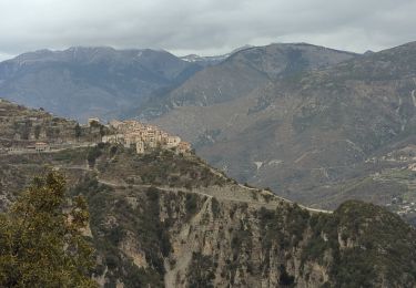
Bairols est un beau village moyenâgeux.
15 km et 1100
3 gites pour dormir au lieu dit "Lac" (b.194)


A pied

A pied
A pied
A pied
Marche
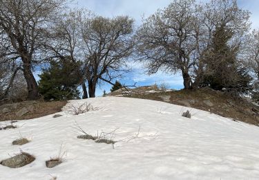
Raquettes à neige
Marche
Marche
Marche