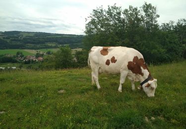
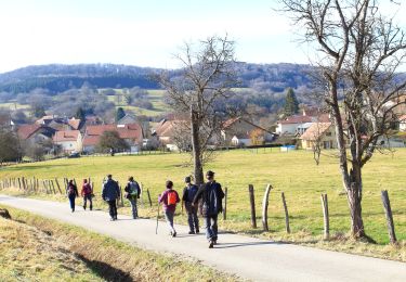
13,2 km | 18,1 km-effort
Les 40 km de Vallone-PM
tiene
Utilisateur
Longueur
17,2 km
Altitude max
781 m
Dénivelé positif
702 m
Km-Effort
27 km
Altitude min
530 m
Dénivelé négatif
702 m
Boucle
Oui
Date de création :
2023-03-20 20:53:23.38
Dernière modification :
2023-04-06 19:22:05.937
6h01
Difficulté : Très difficile
Application GPS de randonnée GRATUITE
À propos
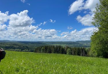
Randonnée Marche de 17,2 km à découvrir à Bourgogne-Franche-Comté, Doubs, Valonne. Cette randonnée est proposée par tiene.
Localisation
Pays :
France
Région :
Bourgogne-Franche-Comté
Département/Province :
Doubs
Commune :
Valonne
Localité :
Unknown
Départ:(Dec)
Départ:(UTM)
325267 ; 5246985 (32T) N.
Commentaires
Randonnées à proximité
Rosière sur Barbeche
sport
Très facile
Rosières-sur-Barbèche,
Bourgogne-Franche-Comté,
Doubs,
France
Inconnu
Oui
Péseux 18 juin 2019 CAF
Marche
Difficile
Péseux,
Bourgogne-Franche-Comté,
Doubs,
France
19,5 km | 26 km-effort
7h 18min
Oui
Goux-les-Dambelin
Marche
Facile
Goux-lès-Dambelin,
Bourgogne-Franche-Comté,
Doubs,
France
12,7 km | 18,1 km-effort
3h 49min
Oui
Neuchâtel remondans
Marche
Facile
Neuchâtel-Urtière,
Bourgogne-Franche-Comté,
Doubs,
France
6,1 km | 9 km-effort
2h 3min
Non
Dambelin Pont de Roide Montagne du Lomont 30 juin 2020 CAF
Marche
Difficile
Dambelin,
Bourgogne-Franche-Comté,
Doubs,
France
22 km | 31 km-effort
6h 33min
Oui
Lomont (La ferme du) - Mont Solemont - Eoliennes
Marche
Moyen
Vyt-lès-Belvoir,
Bourgogne-Franche-Comté,
Doubs,
France
18,4 km | 24 km-effort
4h 10min
Oui
10 août 2024
Marche
Difficile
Feule,
Bourgogne-Franche-Comté,
Doubs,
France
7,6 km | 11,7 km-effort
4h 49min
Non
20240314
Marche
Difficile
Les Terres-de-Chaux,
Bourgogne-Franche-Comté,
Doubs,
France
9,9 km | 13,1 km-effort
3h 16min
Non
edith
Marche
Facile
Les Terres-de-Chaux,
Bourgogne-Franche-Comté,
Doubs,
France
10,9 km | 14,6 km-effort
3h 4min
Oui