


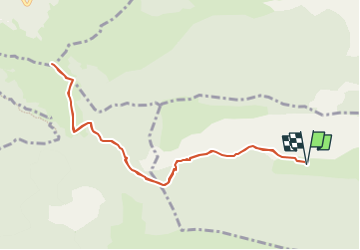

10,4 km | 19,8 km-effort

Utilisateur GUIDE


Application GPS de randonnée GRATUITE
 SityTrail
IGN / Instituts géographiques
SityTrail World
Le monde est à vous
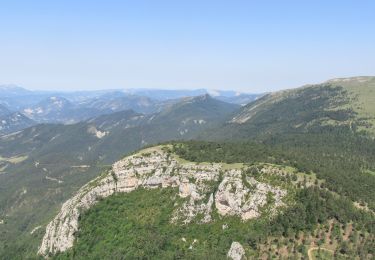
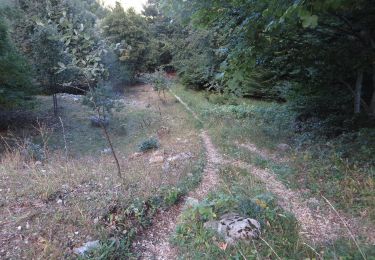
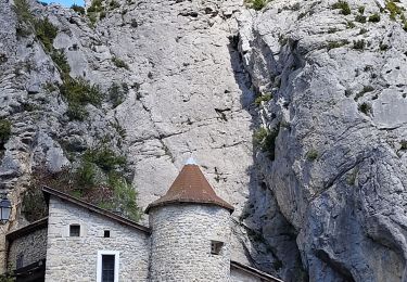
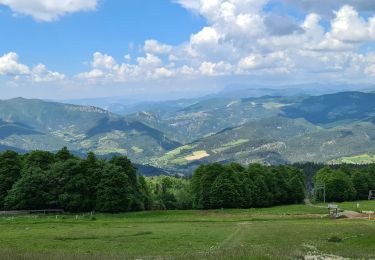
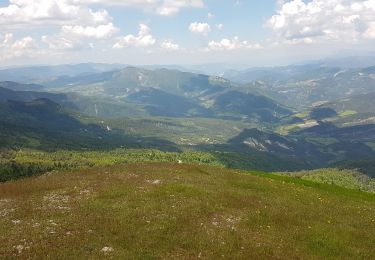
Randonnée Marche de 10,3 km à découvrir à Provence-Alpes-Côte d'Azur, Hautes-Alpes, Sigottier. Cette randonnée est proposée par Marco05.
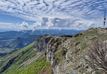
Randonnée moyenne, pas du tout technisue, mais qui demande une bonne condition physique pour la montée finale.


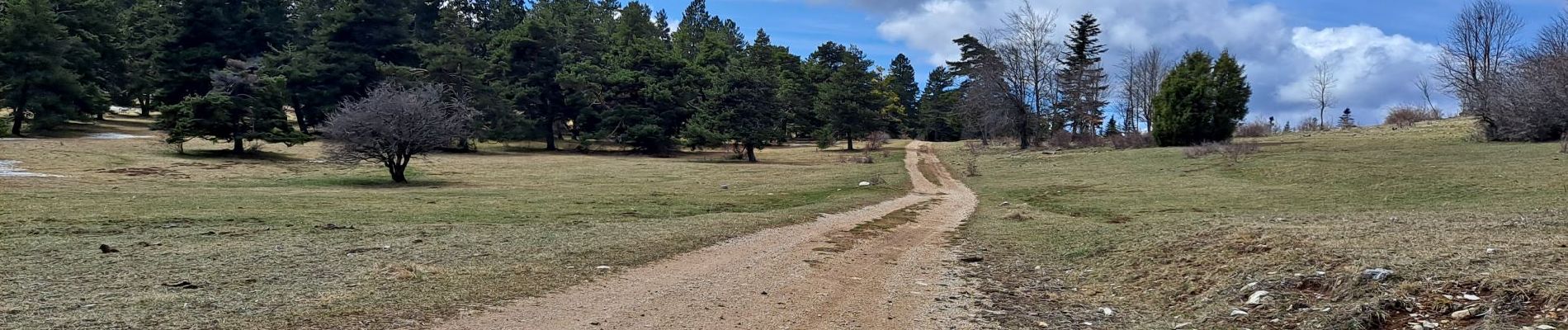
Marche
Marche
Marche
V.T.T.

V.T.T.

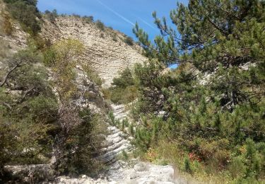
Marche
Marche
Marche
Marche