


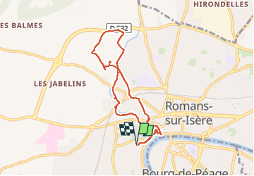

6,7 km | 8,4 km-effort


Utilisateur


Application GPS de randonnée GRATUITE
 SityTrail
IGN / Instituts géographiques
SityTrail World
Le monde est à vous
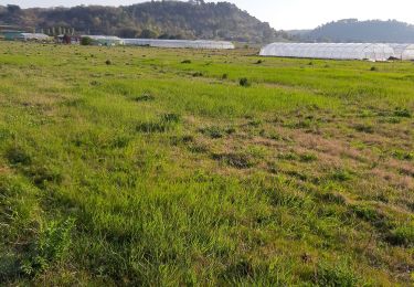
Randonnée Marche de 7,9 km à découvrir à Auvergne-Rhône-Alpes, Drôme, Romans-sur-Isère. Cette randonnée est proposée par meillon.
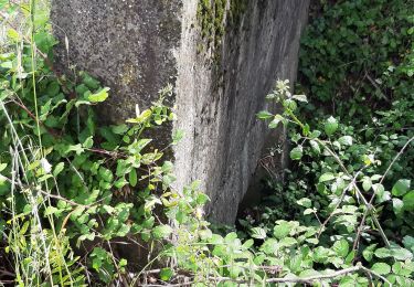
en remontant la martinette jusqu au quartier chatiou, et en redescendant par la Savasse, un peu d histoire sur les panneaux remonte l intérêt....

Marche
Marche

Vélo de route
Vélo de route
Marche
Marche
Vélo de route
Marche
Marche