


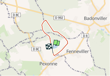

13,6 km | 17 km-effort


Utilisateur


Application GPS de randonnée GRATUITE
 SityTrail
IGN / Instituts géographiques
SityTrail World
Le monde est à vous
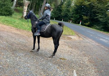
Randonnée Randonnée équestre de 4 km à découvrir à Grand Est, Meurthe-et-Moselle, Pexonne. Cette randonnée est proposée par FETuilerie.
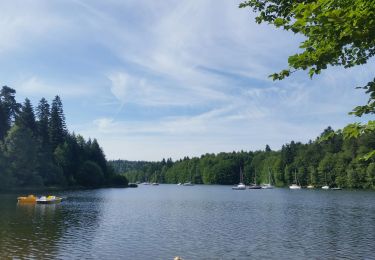
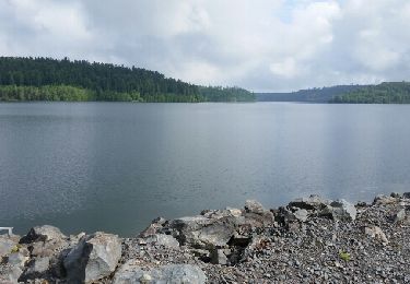
Boucle d'1 heure au pas, avec des poneys. Pas de route, pas de village, que du chemin.
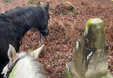
Départ en haut de la Tuilerie, retour par la voie ferrée en bas de la Tuilerie

Randonnée équestre
Marche
Marche
Marche

Randonnée équestre
V.T.T.
V.T.T.
Randonnée équestre
Randonnée équestre