


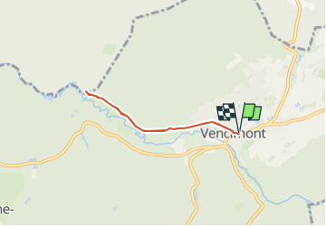

5,8 km | 7,3 km-effort


Utilisateur


Application GPS de randonnée GRATUITE
 SityTrail
IGN / Instituts géographiques
SityTrail World
Le monde est à vous
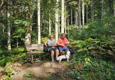
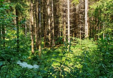
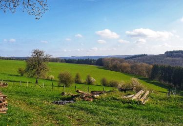
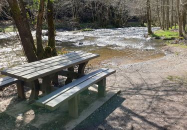
Randonnée A pied de 4,7 km à découvrir à Wallonie, Namur, Gedinne. Cette randonnée est proposée par Parc naturel de l'Ardenne méridionale .
Sentier accessible en Becasine.
Avant de vous lancer sur ce circuit, nous vous renvoyons vers la brochure dédiée afin de prendre connaissance des caractéristiques techniques du tracé.
Marche
Marche

Marche

Marche
Marche
Marche
Marche
Marche
Marche