


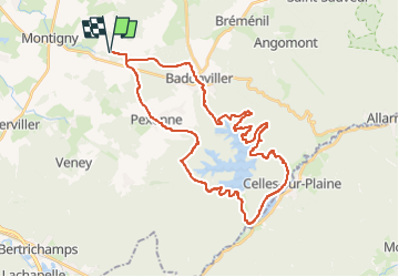

13,6 km | 17 km-effort


Utilisateur


Application GPS de randonnée GRATUITE
 SityTrail
IGN / Instituts géographiques
SityTrail World
Le monde est à vous
Randonnée Randonnée équestre de 37 km à découvrir à Grand Est, Meurthe-et-Moselle, Saint-Maurice-aux-Forges. Cette randonnée est proposée par ACPL.
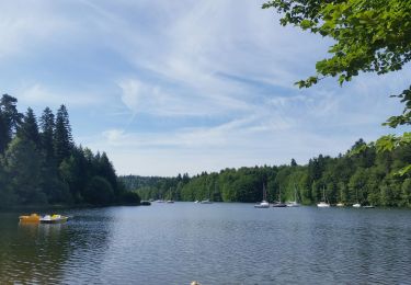
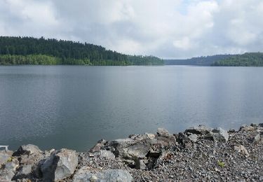
Randonnée au lac de Pierre percée de gîte en gîte
Gîte des Forges à saint Maurice aux forges 0749119904
Gîte des cabanes de Pierre Percée 0767936070
Gîte de la cramaillote 40 rue d'Alsace 88110 Celles sur Plaine 0622247281

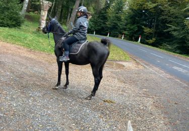
Randonnée équestre
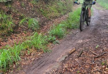
V.T.T.
V.T.T.
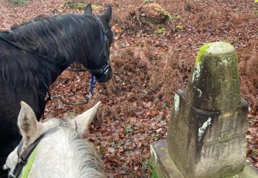
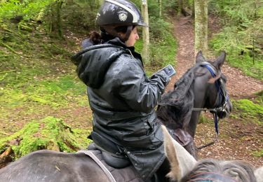
Randonnée équestre
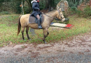
Randonnée équestre
Randonnée équestre
Vélo électrique
Randonnée équestre
Cyclotourisme
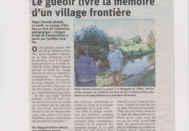
Gîte de la Crémaillotte et pas Cramaillotte