


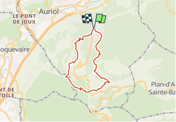

12,7 km | 20 km-effort


Utilisateur


Application GPS de randonnée GRATUITE
 SityTrail
IGN / Instituts géographiques
SityTrail World
Le monde est à vous
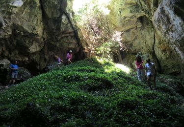
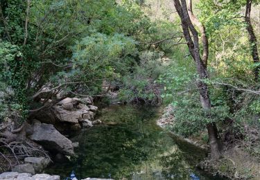
Randonnée Marche de 12,4 km à découvrir à Provence-Alpes-Côte d'Azur, Bouches-du-Rhône, Auriol. Cette randonnée est proposée par gaggiroland.
la maison du legionnaire vallon de besseron pas du lierre col des seigniors roussargue ravin des infernets pont des encanneaux vede

Marche

Marche

Marche

Marche
A pied
Marche
Marche
Marche
Marche