


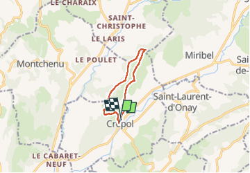

13,4 km | 17,6 km-effort

Utilisateur


Application GPS de randonnée GRATUITE
 SityTrail
IGN / Instituts géographiques
SityTrail World
Le monde est à vous
Randonnée Marche de 8,3 km à découvrir à Auvergne-Rhône-Alpes, Drôme, Crépol. Cette randonnée est proposée par meillon.
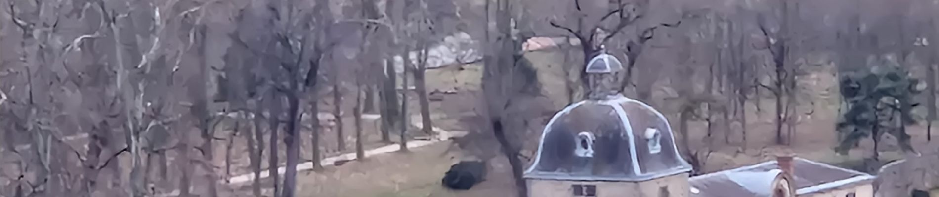
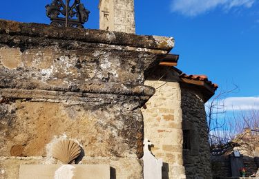
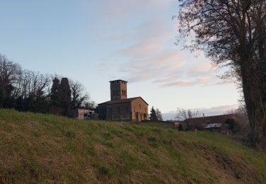
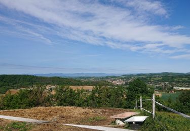
montée un peu raide près de une ancienne butte castrais, chapelle Saint Roch on peut entrer,vue sur les monts d Ardèche, passage près du château Charlie, tour chapelle Saint Jean baptiste...beau parcours


Marche
Marche
Marche

Marche
Marche
Marche
Marche
Marche
Marche