


6 km | 10,6 km-effort

Utilisateur


Application GPS de randonnée GRATUITE
 SityTrail
IGN / Instituts géographiques
SityTrail World
Le monde est à vous
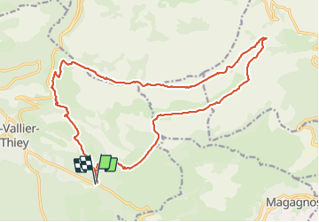
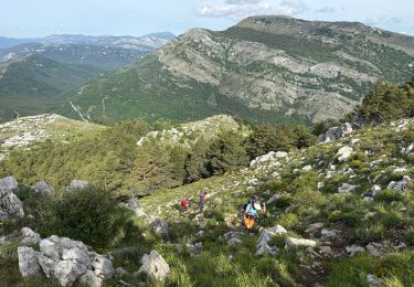
Randonnée Marche de 23 km à découvrir à Provence-Alpes-Côte d'Azur, Alpes-Maritimes, Saint-Vallier-de-Thiey. Cette randonnée est proposée par ETMU5496.
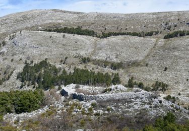
Depuis le Col du Pilon et le col du Ferrié
A signaler une partie bitumée vers le pk 16 sur 2-3 km...
La partie finale pour rejoindre le point de départ emprunte un passage non balisé. Etre vigilant sur la trace
IBP=120


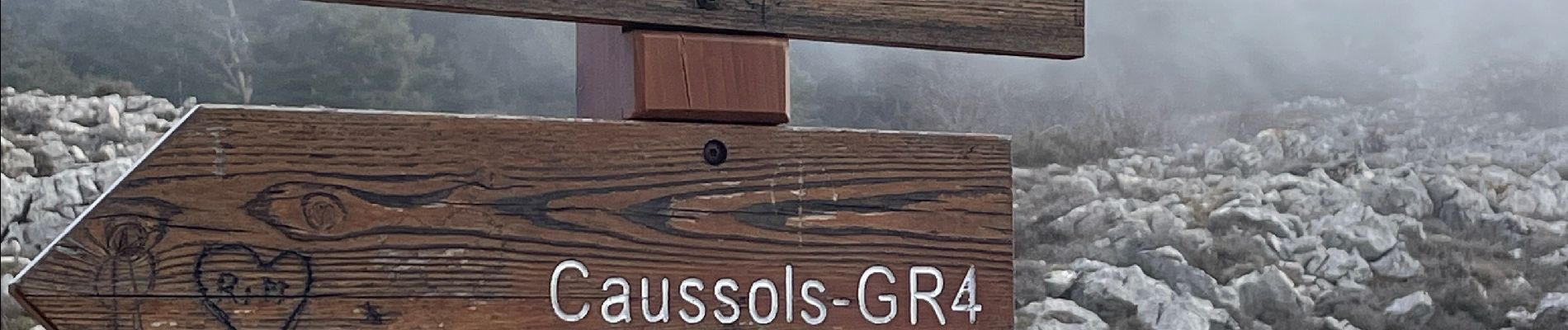
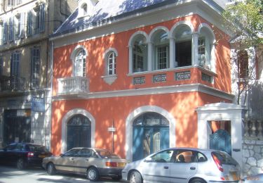
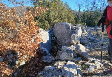
32 photos au total. Cliquez sur une photo pour les afficher toutes dans la galerie.

Marche

Marche
A pied

V.T.T.

Marche
Marche
Marche
Marche
Marche