16,8 km | 27 km-effort
Schafer Rainkopf
Alain28/01
Utilisateur
Longueur
14,7 km
Altitude max
1268 m
Dénivelé positif
816 m
Km-Effort
26 km
Altitude min
592 m
Dénivelé négatif
1071 m
Boucle
Non
Date de création :
2023-02-16 08:46:00.655
Dernière modification :
2023-02-20 18:41:37.26
1h36
Difficulté : Difficile
Application GPS de randonnée GRATUITE
À propos
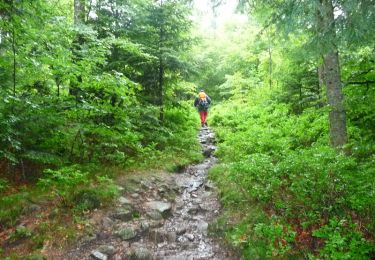
Randonnée Raquettes à neige de 14,7 km à découvrir à Grand Est, Haut-Rhin, Kruth. Cette randonnée est proposée par Alain28/01.
Description
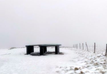
neige mole de printemps. Marche éprouvante
Localisation
Pays :
France
Région :
Grand Est
Département/Province :
Haut-Rhin
Commune :
Kruth
Localité :
Unknown
Départ:(Dec)
Départ:(UTM)
348519 ; 5313140 (32T) N.
Commentaires
Randonnées à proximité
2022-02-20 Marche Kruth Grand Ventron
Marche
Très difficile
(1)
Wildenstein,
Grand Est,
Haut-Rhin,
France
4h 52min
Oui
Autour du Lac des Corbeaux
Marche
Moyen
(1)
La Bresse,
Grand Est,
Vosges,
France
3,1 km | 6 km-effort
1h 30min
Oui
Autour du lac de Kruth-Wildenstein
Marche
Moyen
(1)
Kruth,
Grand Est,
Haut-Rhin,
France
7,6 km | 12,7 km-effort
3h 15min
Oui
TREK ALSACIEN (boucle de Wildenstein)
Marche
Difficile
(1)
Wildenstein,
Grand Est,
Haut-Rhin,
France
15,4 km | 24 km-effort
5h 20min
Oui
SityTrail - Le Lac des Corbeaux - La Bresse
Marche
Très facile
(1)
La Bresse,
Grand Est,
Vosges,
France
3 km | 6 km-effort
1h 0min
Oui
Le Lac des Corbeaux - La Bresse
Marche
Moyen
(2)
La Bresse,
Grand Est,
Vosges,
France
3 km | 6 km-effort
2h 0min
Oui
Felsach _chapelle ST Nicolas_frenz
Marche
Difficile
(3)
Fellering,
Grand Est,
Haut-Rhin,
France
9,6 km | 16,5 km-effort
3h 45min
Oui
68 Chapelle St Nicolas - FA du Felsach (1 + 2)
Marche
Moyen
(1)
Oderen,
Grand Est,
Haut-Rhin,
France
10,9 km | 17,9 km-effort
3h 41min
Oui
lac des corbeaux, le grand ventron
Marche
Difficile
(1)
La Bresse,
Grand Est,
Vosges,
France
22 km | 35 km-effort
7h 39min
Oui