


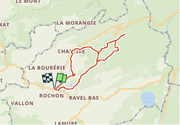

14,9 km | 19,8 km-effort


Utilisateur


Application GPS de randonnée GRATUITE
 SityTrail
IGN / Instituts géographiques
SityTrail World
Le monde est à vous
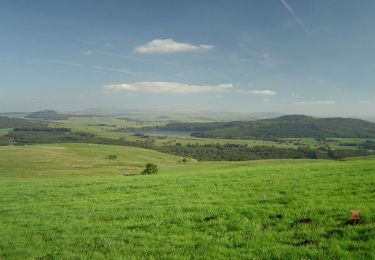
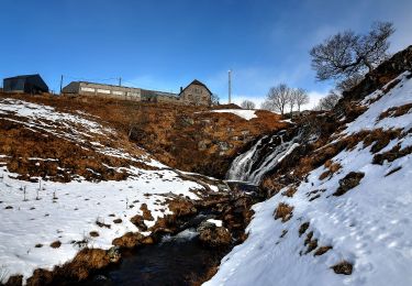
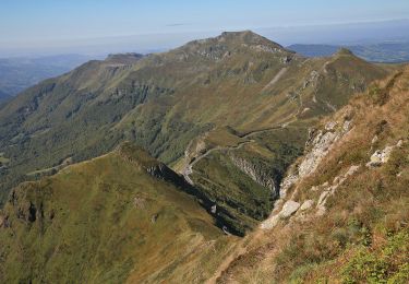
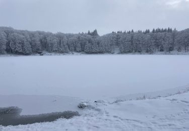
Randonnée Raquettes à neige de 13,7 km à découvrir à Auvergne-Rhône-Alpes, Puy-de-Dôme, Picherande. Cette randonnée est proposée par annehc.
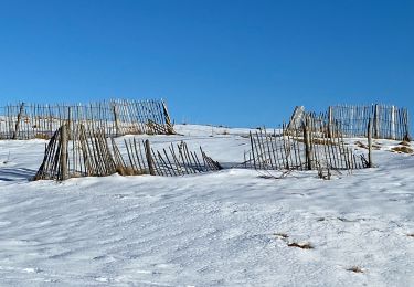
en redescendant de Chareire, difficulté à trouver la trace. Autres traces suivies mais passage délicat de barbelés et arrivée sur une petiteroute en passant pas u.ne propriété privée
V.T.T.
A pied
A pied
A pied

A pied
Marche
Marche
Marche
Marche