


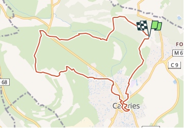

18,6 km | 21 km-effort


Utilisateur


Application GPS de randonnée GRATUITE
 SityTrail
IGN / Instituts géographiques
SityTrail World
Le monde est à vous
Randonnée Marche de 11,4 km à découvrir à Occitanie, Hérault, Castries. Cette randonnée est proposée par Levant .
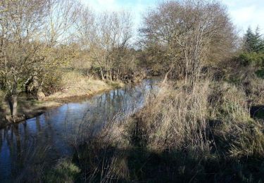
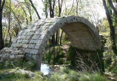
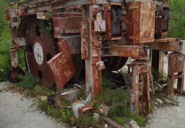
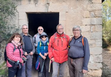
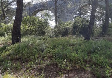
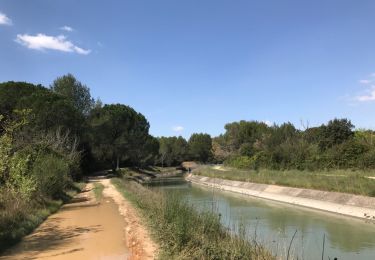
Imaginé par Paul Riquet, l’aqueduc de Castries, imposant ouvrage, serpente au sol ou en aérien. Avec un dénivelé de 3 mètres pour ne longueur de 6 822 mètres, il conduisait l’eau au parc du château de Castries. L’itinéraire frôle la mystérieuse Capelette (petite chapelle) et franchit la Cadoule au pont des Tourilles pour atteindre ensuite les ruines d’une commanderie de Templiers, à Bannières. Puis l’on découvre Castries et son coeur médiéval, ses anciennes halles, son square Coste à l’abri des vestiges de l’église romane, les arches du moulin à huile, l’imposante église, et surtout le château et son parc, petit Versailles du Languedoc. Enfin, après la carrière du Colombier, site classé, utilisée pour la construction des monuments, le sentier mène au mas de Fondespierre.
V.T.T.
V.T.T.

Marche
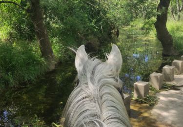
Randonnée équestre
Marche

A pied
Marche
Marche