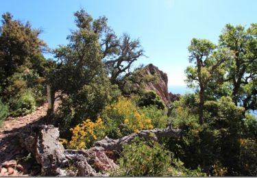
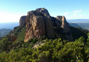
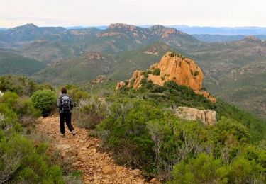
10,4 km | 17,5 km-effort
Les grues esterel
SaintEloi4
Utilisateur
Longueur
9,9 km
Altitude max
437 m
Dénivelé positif
460 m
Km-Effort
16 km
Altitude min
185 m
Dénivelé négatif
466 m
Boucle
Oui
Date de création :
2023-02-19 08:58:01.0
Dernière modification :
2023-02-19 14:17:48.797
3h20
Difficulté : Moyen
Application GPS de randonnée GRATUITE
À propos
Randonnée Marche de 9,9 km à découvrir à Provence-Alpes-Côte d'Azur, Var, Saint-Raphaël. Cette randonnée est proposée par SaintEloi4.
Localisation
Pays :
France
Région :
Provence-Alpes-Côte d'Azur
Département/Province :
Var
Commune :
Saint-Raphaël
Localité :
Unknown
Départ:(Dec)
Départ:(UTM)
331131 ; 4816320 (32T) N.
Commentaires
Randonnées à proximité
Massif d'ésterel-grande boucle pic cap roux
Marche
Moyen
(2)
Saint-Raphaël,
Provence-Alpes-Côte d'Azur,
Var,
France
2h 58min
Oui
Le tour du Pic du Cap Roux - St Raphaël (Agay)
Marche
Moyen
(2)
Saint-Raphaël,
Provence-Alpes-Côte d'Azur,
Var,
France
7,2 km | 12,8 km-effort
2h 0min
Oui
Pic du Cap Roux
Marche
Très facile
(4)
Saint-Raphaël,
Provence-Alpes-Côte d'Azur,
Var,
France
4,1 km | 7,8 km-effort
1h 17min
Oui
Mont Saint Martin
Marche
Facile
(1)
Mandelieu-la-Napoule,
Provence-Alpes-Côte d'Azur,
Alpes-Maritimes,
France
9 km | 14,2 km-effort
3h 0min
Oui
Théoule ND - Aiguille
Marche
Très difficile
(1)
Saint-Raphaël,
Provence-Alpes-Côte d'Azur,
Var,
France
18,1 km | 29 km-effort
6h 40min
Oui
Agay - Sainte-Barbe - Étang des Nénuphares
Marche
Facile
(2)
Saint-Raphaël,
Provence-Alpes-Côte d'Azur,
Var,
France
5 km | 6,2 km-effort
2h 8min
Oui
Tour du Pic de l'Ours - Le Trayas
Marche
Moyen
(1)
Saint-Raphaël,
Provence-Alpes-Côte d'Azur,
Var,
France
9,5 km | 16 km-effort
3h 0min
Oui
Rando des Etangs
Marche
Très difficile
Saint-Raphaël,
Provence-Alpes-Côte d'Azur,
Var,
France
16,1 km | 22 km-effort
4h 1min
Oui
Dent et Pic de l'Ours - Pic d'Aurelle depuis le Col Belle Barbe
Marche
Difficile
Saint-Raphaël,
Provence-Alpes-Côte d'Azur,
Var,
France
17,5 km | 25 km-effort
4h 50min
Oui