23 km | 28 km-effort
7km wavre
Bruno566
Utilisateur
Longueur
7,3 km
Altitude max
106 m
Dénivelé positif
149 m
Km-Effort
9,3 km
Altitude min
40 m
Dénivelé négatif
149 m
Boucle
Oui
Date de création :
2023-02-19 13:01:51.659
Dernière modification :
2023-02-19 13:03:00.609
2h06
Difficulté : Moyen
Application GPS de randonnée GRATUITE
À propos
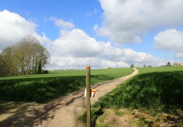
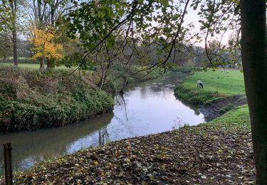
Randonnée Marche de 7,3 km à découvrir à Wallonie, Brabant wallon, Wavre. Cette randonnée est proposée par Bruno566.
Localisation
Pays :
Belgique
Région :
Wallonie
Département/Province :
Brabant wallon
Commune :
Wavre
Localité :
Wavre
Départ:(Dec)
Départ:(UTM)
613411 ; 5620593 (31U) N.
Commentaires
Randonnées à proximité
RL-GG-01_Archennes_Wavre
Marche
Très difficile
(7)
Grez-Doiceau,
Wallonie,
Brabant wallon,
Belgique
5h 59min
Non
De Dion-le Mont à Dion-le Val par la vallée du Pisselet
Marche
Très facile
(8)
Chaumont-Gistoux,
Wallonie,
Brabant wallon,
Belgique
8,6 km | 10,3 km-effort
2h 0min
Oui
Lauzelle - Circuit Natura 2000, des sites qui valent le détour ! - Bw01
Marche
Facile
(2)
Ottignies-Louvain-la-Neuve,
Wallonie,
Brabant wallon,
Belgique
3,8 km | 4,8 km-effort
1h 26min
Oui
RB-Bw-07 - Basse-Wavre - Via variantes 1 et 2
Marche
Moyen
(4)
Wavre,
Wallonie,
Brabant wallon,
Belgique
27 km | 34 km-effort
7h 5min
Oui
#230220 - Terlanen, Schaatbroekbos, GR579****
Marche
Moyen
(2)
Overijse,
Flandre,
Brabant flamand,
Belgique
7,2 km | 8,4 km-effort
1h 55min
Oui
#221104 - Florival > Pécrot, GRP127
Marche
Moyen
(2)
Grez-Doiceau,
Wallonie,
Brabant wallon,
Belgique
7 km | 8,4 km-effort
1h 55min
Oui
#210507 - Dion-le-Mont, La Commone, Bois de Vieusart et le Bonly****
Marche
Moyen
(1)
Chaumont-Gistoux,
Wallonie,
Brabant wallon,
Belgique
6,5 km | 7,9 km-effort
2h 12min
Oui
#210224 - Rés. nat. Florival, étang de Pécrot, Sept Bonniers***
Marche
Moyen
(3)
Grez-Doiceau,
Wallonie,
Brabant wallon,
Belgique
7,1 km | 8,4 km-effort
1h 54min
Oui
RB - BW - 6 Gastuche Precrot
Marche
Facile
(2)
Grez-Doiceau,
Wallonie,
Brabant wallon,
Belgique
14,5 km | 17,2 km-effort
2h 58min
Oui