


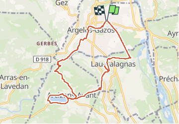

11,8 km | 20 km-effort

Utilisateur GUIDE


Application GPS de randonnée GRATUITE
 SityTrail
IGN / Instituts géographiques
SityTrail World
Le monde est à vous
Randonnée Marche de 10,3 km à découvrir à Occitanie, Hautes-Pyrénées, Argelès-Gazost. Cette randonnée est proposée par marmotte65.
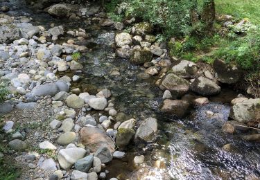
Une jolie balade avec un passage un peu pentu avant d'arriver à Arcizans Avant, que l'on peut raccourcir de 1.5km en ne faisant pas le tour du lac et diminuer la dénivelée en ne montant pas à sainte castere .
bref que du bonheur et de beaux points de vue sur des Pyrénées enneigées


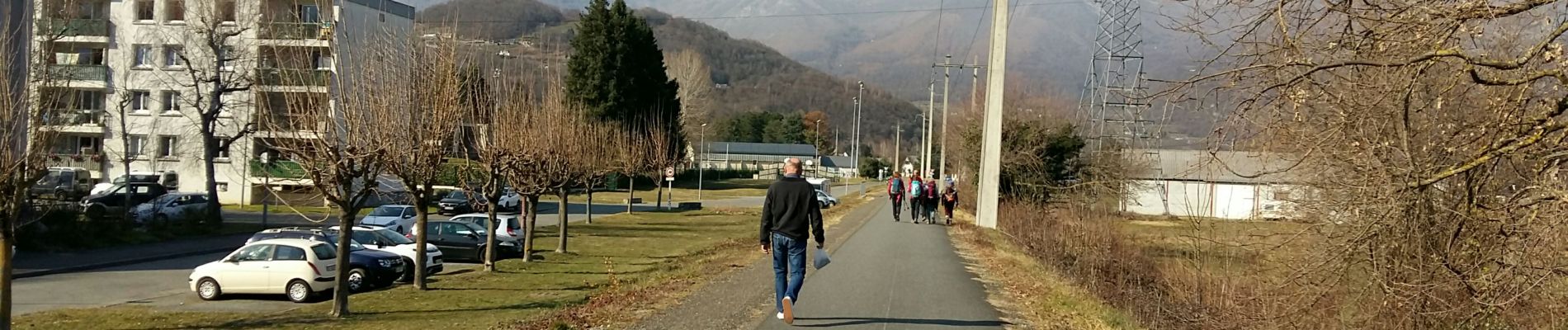
Marche

Vélo électrique
Marche

Marche

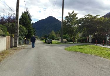
Marche
Marche
Marche
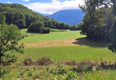
Marche
Marche