


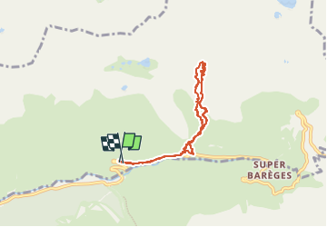

16 km | 34 km-effort

Utilisateur GUIDE


Application GPS de randonnée GRATUITE
 SityTrail
IGN / Instituts géographiques
SityTrail World
Le monde est à vous
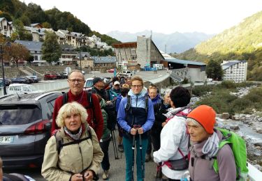
Randonnée Randonnée équestre de 7,4 km à découvrir à Occitanie, Hautes-Pyrénées, Sers. Cette randonnée est proposée par orsel.
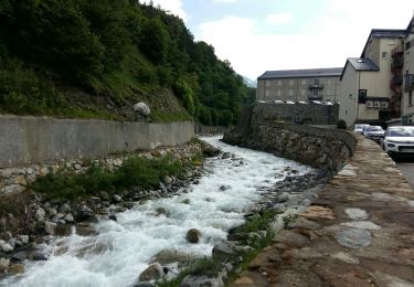
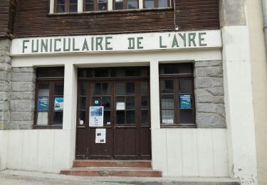
À la borne 35 de la d918 monter à gauche rive gauche du torrent qui descend puis rejoindre à gauche la cabane d’aoube
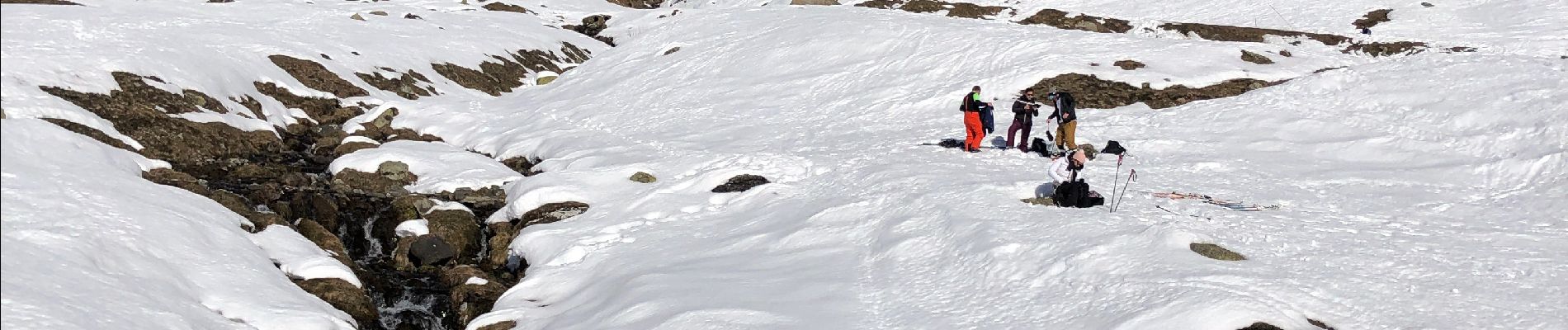
Puis monter à droite et passer à gauche des gros rochers au centre …..


Marche

Marche
Marche

Marche

Marche
Marche
Marche
Marche
Marche