


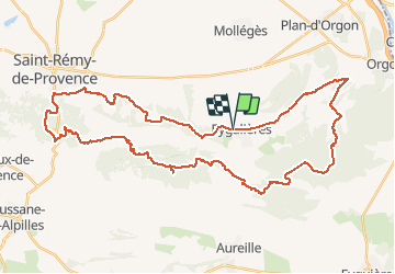

16,3 km | 21 km-effort


Utilisateur


Application GPS de randonnée GRATUITE
 SityTrail
IGN / Instituts géographiques
SityTrail World
Le monde est à vous
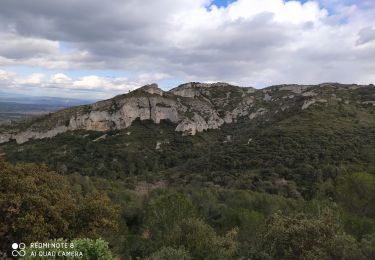
Randonnée V.T.T. de 50 km à découvrir à Provence-Alpes-Côte d'Azur, Bouches-du-Rhône, Eygalières. Cette randonnée est proposée par fireman84.
difficile par la distance.
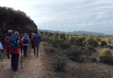
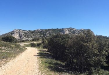
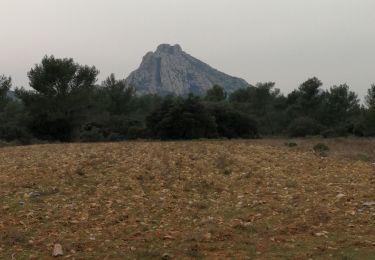
depart a eygalieres pour se mettre en jambes ,on peut aussi couper le circuit en 2 au niveau de la route de mouries
Marche

Marche
Marche

Marche

Marche
Marche
Marche
Marche

Marche