


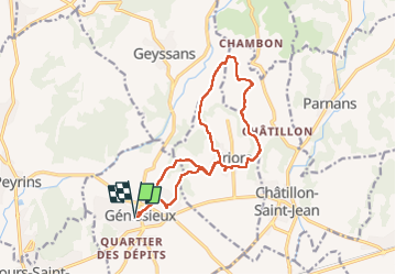

47 km | 53 km-effort


Utilisateur


Application GPS de randonnée GRATUITE
 SityTrail
IGN / Instituts géographiques
SityTrail World
Le monde est à vous
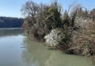
Randonnée Marche de 15 km à découvrir à Auvergne-Rhône-Alpes, Drôme, Génissieux. Cette randonnée est proposée par genepy01.
départ. eglise

Vélo de route

Marche
Marche
Marche
Marche
Marche
Marche

Marche
Marche