


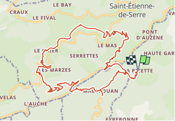

18,5 km | 29 km-effort

Utilisateur GUIDE


Application GPS de randonnée GRATUITE
 SityTrail
IGN / Instituts géographiques
SityTrail World
Le monde est à vous
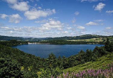
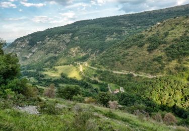
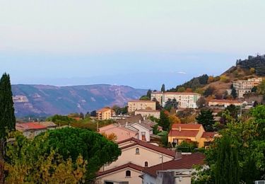
Randonnée Marche de 14 km à découvrir à Auvergne-Rhône-Alpes, Ardèche, Creysseilles. Cette randonnée est proposée par thonyc.
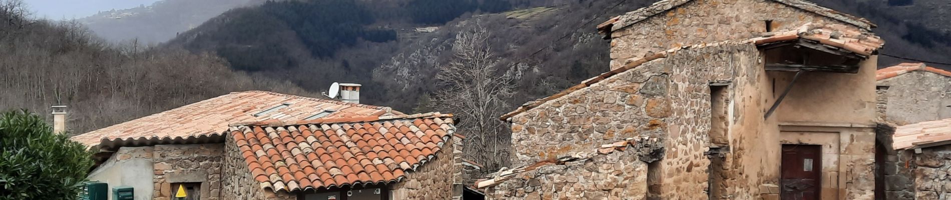
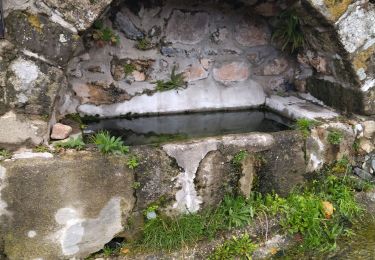
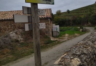
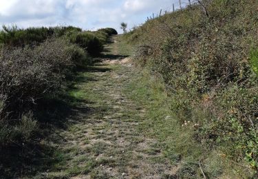
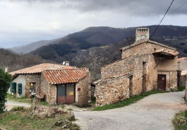
Le charme du hameau, de beaux panoramas, des sentiers variés très agréables.
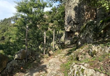
Intérêt géologique avec le volcan de Chirouse, des grés et des orgues basaltiques.


Marche

Marche
Marche
Marche

sport
Marche
Marche
Marche
Marche