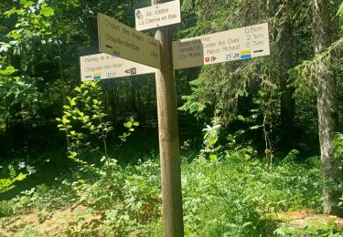
9,1 km | 12,5 km-effort
raquette jura j2
Thierry Lalouze
Utilisateur
Longueur
9,6 km
Altitude max
1219 m
Dénivelé positif
272 m
Km-Effort
13,2 km
Altitude min
1086 m
Dénivelé négatif
258 m
Boucle
Non
Date de création :
2023-01-31 08:53:10.639
Dernière modification :
2023-02-02 17:41:51.267
2h53
Difficulté : Facile
Application GPS de randonnée GRATUITE
À propos
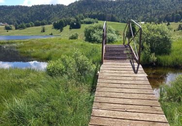
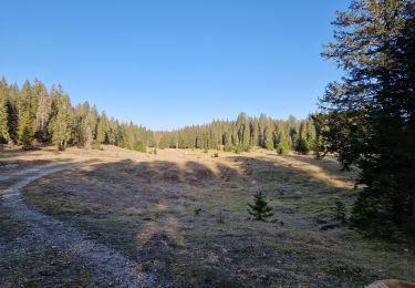
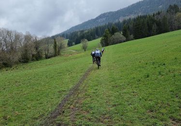
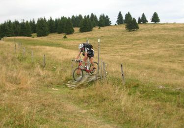
Randonnée Raquettes à neige de 9,6 km à découvrir à Bourgogne-Franche-Comté, Doubs, Châtelblanc. Cette randonnée est proposée par Thierry Lalouze.
Localisation
Pays :
France
Région :
Bourgogne-Franche-Comté
Département/Province :
Doubs
Commune :
Châtelblanc
Localité :
Unknown
Départ:(Dec)
Départ:(UTM)
281232 ; 5169441 (32T) N.
Commentaires
Randonnées à proximité
Chaux Neuve - cascade Bief Bridaux - tremplin
Marche
Difficile
(1)
Chaux-Neuve,
Bourgogne-Franche-Comté,
Doubs,
France
2h 50min
Oui
Roche Champion et Bernard 11.7.24
Marche
Moyen
Chapelle-des-Bois,
Bourgogne-Franche-Comté,
Doubs,
France
11,5 km | 16,6 km-effort
3h 45min
Oui
Risoux
V.T.C.
Très facile
(1)
Chapelle-des-Bois,
Bourgogne-Franche-Comté,
Doubs,
France
21 km | 27 km-effort
2h 0min
Non
Le pré-poncet par le petit pont et la forêt
Marche
Moyen
Châtelblanc,
Bourgogne-Franche-Comté,
Doubs,
France
5,9 km | 7,7 km-effort
1h 44min
Oui
Chapelle-des-Bois
Marche
Moyen
Chapelle-des-Bois,
Bourgogne-Franche-Comté,
Doubs,
France
8,8 km | 10,2 km-effort
1h 58min
Oui
Chapelle des Bois - Roche Bernard - Roche Champion
Marche
Difficile
(1)
Chapelle-des-Bois,
Bourgogne-Franche-Comté,
Doubs,
France
12,7 km | 18,2 km-effort
4h 8min
Oui
Grandes Traversées du Jura à VTT - Haut Jura
V.T.T.
Très difficile
Foncine-le-Haut,
Bourgogne-Franche-Comté,
Jura,
France
84 km | 110 km-effort
7h 30min
Non
Chapelle des Bois
Marche
Moyen
Chapelle-des-Bois,
Bourgogne-Franche-Comté,
Doubs,
France
12,9 km | 16,5 km-effort
1h 29min
Non
Balade du parc polaire
Marche
Moyen
Chaux-Neuve,
Bourgogne-Franche-Comté,
Doubs,
France
6,8 km | 10,1 km-effort
1h 30min
Oui