


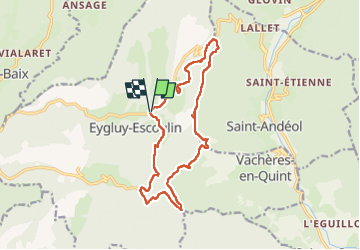

12,6 km | 26 km-effort

Utilisateur


Application GPS de randonnée GRATUITE
 SityTrail
IGN / Instituts géographiques
SityTrail World
Le monde est à vous
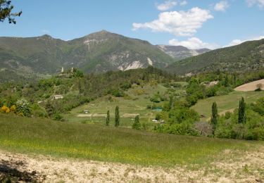
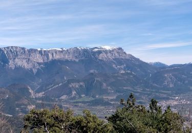
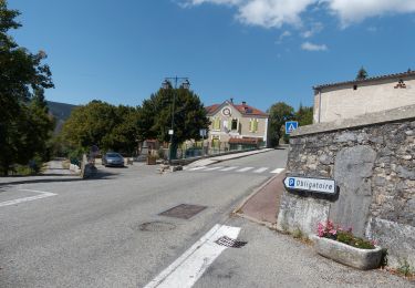
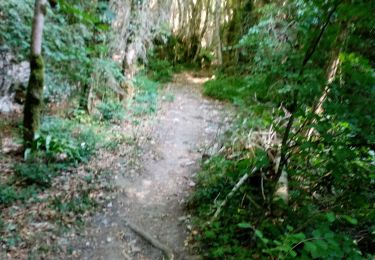
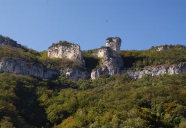
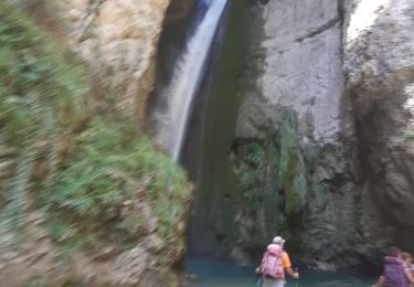
Randonnée Marche de 15,9 km à découvrir à Auvergne-Rhône-Alpes, Drôme, Eygluy-Escoulin. Cette randonnée est proposée par ajd26.
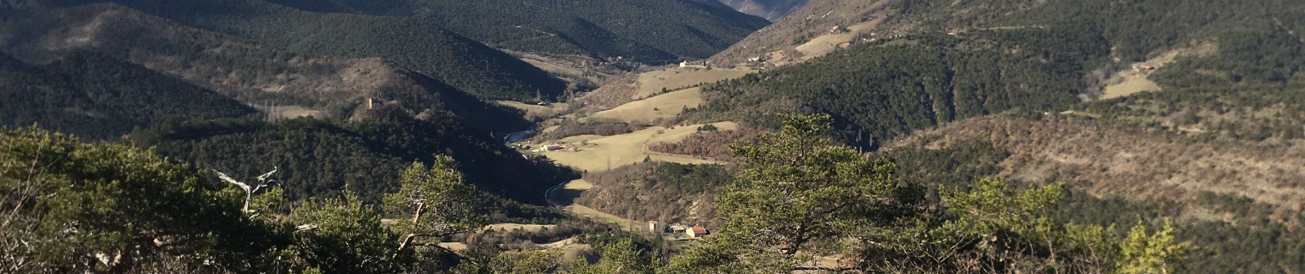
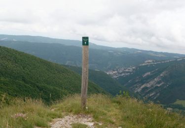
belle rando facile et de beaux panoramas


Marche
Marche
Marche
Marche
Marche
Marche
Marche
Marche
Marche