


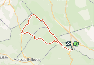


11 km | 15,4 km-effort

Utilisateur GUIDE


Application GPS de randonnée GRATUITE
 SityTrail
IGN / Instituts géographiques
SityTrail World
Le monde est à vous
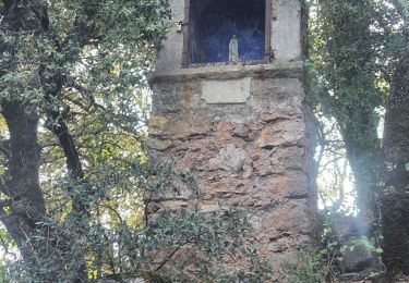
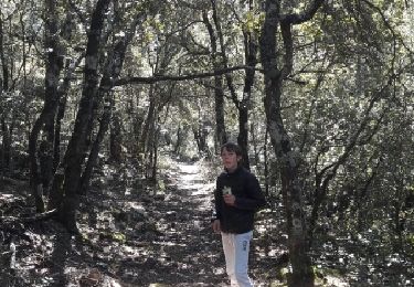
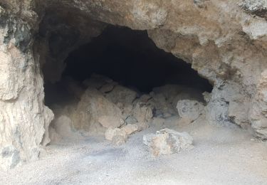
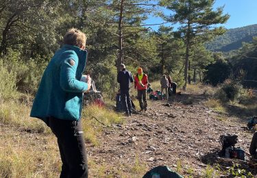
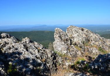
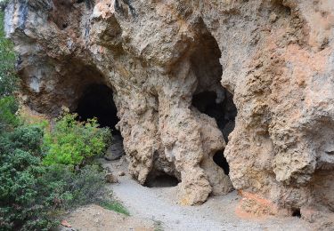
Randonnée Marche de 16,3 km à découvrir à Provence-Alpes-Côte d'Azur, Var, Aups. Cette randonnée est proposée par Kargil.
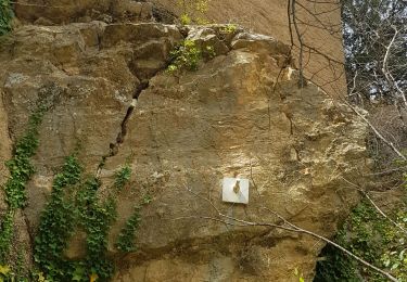
Attention le sentier vers les Eyssariades est fermé. Il est impératif de remonter par les Berges, Pounsony puis La Colle.


Marche
Marche
Marche
Course à pied
Marche
Marche
Marche
Marche