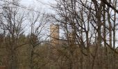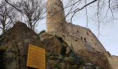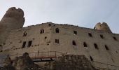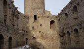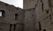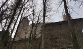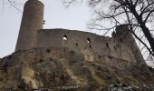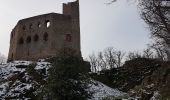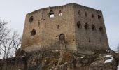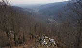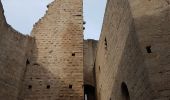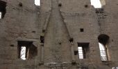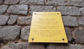

Andlau - château d'Andlau - château du Spesbourg

Bart2015
Utilisateur

Longueur
8,6 km

Altitude max
479 m

Dénivelé positif
320 m

Km-Effort
12,8 km

Altitude min
229 m

Dénivelé négatif
325 m
Boucle
Oui
Date de création :
2023-01-29 10:12:12.716
Dernière modification :
2023-01-30 18:25:17.512
1h54
Difficulté : Facile

Application GPS de randonnée GRATUITE
À propos
Randonnée Marche de 8,6 km à découvrir à Grand Est, Bas-Rhin, Andlau. Cette randonnée est proposée par Bart2015.
Description
Petite rando pour découvrir les beaux châteaux d'Andlau et du Spesbourg.
Bonne rando ...
Localisation
Pays :
France
Région :
Grand Est
Département/Province :
Bas-Rhin
Commune :
Andlau
Localité :
Unknown
Départ:(Dec)
Départ:(UTM)
383188 ; 5360659 (32U) N.
Commentaires
Randonnées à proximité
Le circuit nord du Mur Païen


Marche
Facile
(1)
Ottrott,
Grand Est,
Bas-Rhin,
France

5,9 km | 8,5 km-effort
2h 4min
Non

Depuis Andlau vers le village viticole de Mittelbergheim


Marche
Moyen
(1)
Andlau,
Grand Est,
Bas-Rhin,
France

11,9 km | 15,9 km-effort
4h 3min
Oui
Le mur païen


Marche
Moyen
(4)
Ottrott,
Grand Est,
Bas-Rhin,
France

10,5 km | 14,5 km-effort
4h 36min
Oui
Circuit des 3 Petits Ponts


V.T.T.
Difficile
(1)
Barr,
Grand Est,
Bas-Rhin,
France

15,9 km | 22 km-effort
1h 19min
Oui
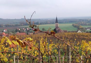
2022-11-11 Journee Epfig Nothalten Dambach


Randonnée équestre
Moyen
Epfig,
Grand Est,
Bas-Rhin,
France

22 km | 27 km-effort
3h 48min
Oui
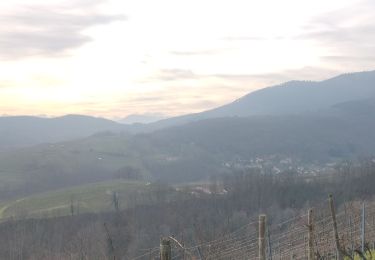
2019-12-28 Marche Reichsfeld Ungersberg Gruckert


Marche
Très facile
Reichsfeld,
Grand Est,
Bas-Rhin,
France

12,2 km | 20 km-effort
3h 5min
Oui

nothalten


Marche
Très facile
(1)
Nothalten,
Grand Est,
Bas-Rhin,
France

9,6 km | 13 km-effort
2h 13min
Non

Mittelbergheim - Château du Landsberg


Marche
Moyen
(3)
Mittelbergheim,
Grand Est,
Bas-Rhin,
France

15,4 km | 23 km-effort
5h 0min
Oui
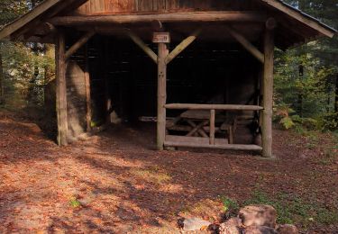
rando carrefour de la bloss


Marche
Facile
Barr,
Grand Est,
Bas-Rhin,
France

11,7 km | 15,1 km-effort
4h 30min
Oui


 SityTrail


