


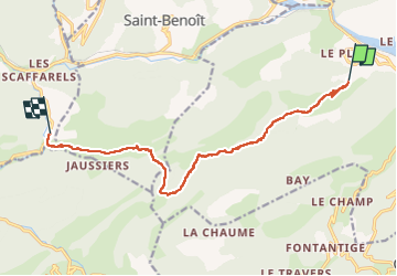

14,1 km | 26 km-effort


Utilisateur


Application GPS de randonnée GRATUITE
 SityTrail
IGN / Instituts géographiques
SityTrail World
Le monde est à vous
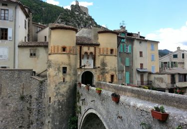
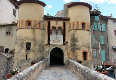
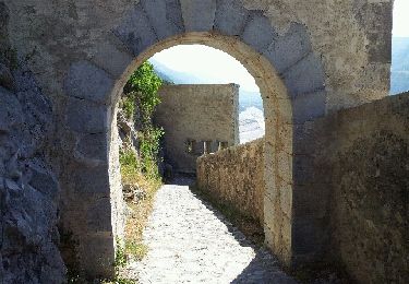
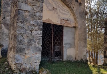
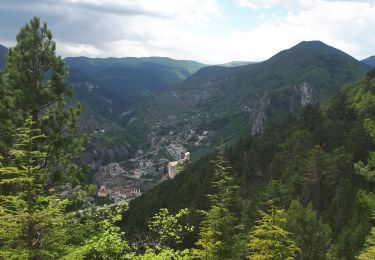
Randonnée Marche de 12 km à découvrir à Provence-Alpes-Côte d'Azur, Alpes-de-Haute-Provence, Entrevaux. Cette randonnée est proposée par Marchopier.
Départ du Plan d'Entrevaux ;arrivée au Pont Saint-Joseph, avec le froid hivernal 2° Température maxi pour le pique-nique


Marche
Marche
Marche
Marche
Marche
Marche
Marche
Marche
Marche