


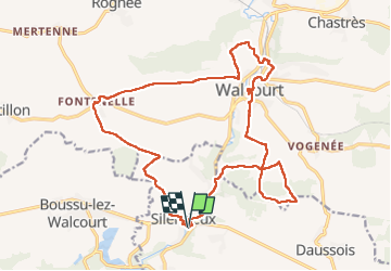

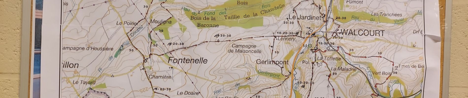
21 km | 26 km-effort

Utilisateur


Application GPS de randonnée GRATUITE
 SityTrail
IGN / Instituts géographiques
SityTrail World
Le monde est à vous
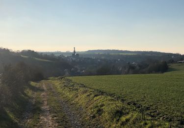
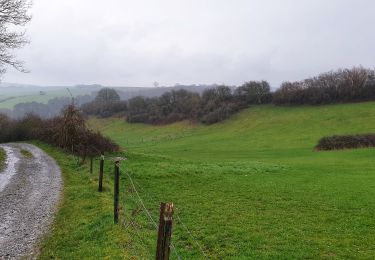
Randonnée Marche de 19,8 km à découvrir à Wallonie, Namur, Cerfontaine. Cette randonnée est proposée par jeangulu.
Point de départ : Salle " La Silène "_ Rue Nou Pré 1_ 5630 SILENRIEUX.
Organisateur : LES GODASSES DE FRAIRE _ Marche de la Basilique.


Marche

Marche

Marche

Marche
Marche
Marche

Marche
Marche
Marche