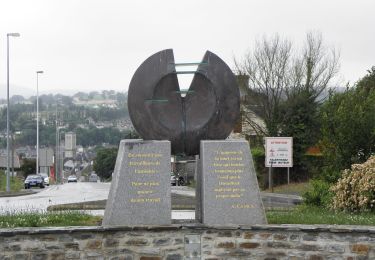
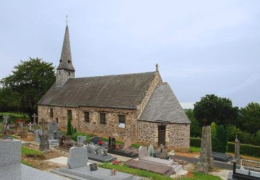
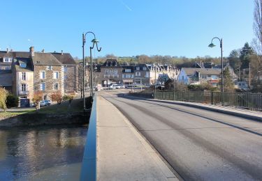
41 km | 54 km-effort
Berjou 1
michelberrier
Utilisateur
Longueur
9,7 km
Altitude max
239 m
Dénivelé positif
237 m
Km-Effort
12,9 km
Altitude min
58 m
Dénivelé négatif
237 m
Boucle
Oui
Date de création :
2023-01-18 08:56:28.017
Dernière modification :
2023-01-18 08:57:11.571
2h55
Difficulté : Facile
Application GPS de randonnée GRATUITE
À propos
Randonnée A pied de 9,7 km à découvrir à Normandie, Orne, Berjou. Cette randonnée est proposée par michelberrier.
Localisation
Pays :
France
Région :
Normandie
Département/Province :
Orne
Commune :
Berjou
Localité :
Unknown
Départ:(Dec)
Départ:(UTM)
684819 ; 5413858 (30U) N.
Commentaires
Randonnées à proximité
La Petite Suisse Normande 2014 - Pont-d'Ouilly
V.T.T.
Difficile
(1)
Pont-d'Ouilly,
Normandie,
Calvados,
France
3h 30min
Oui
VTTVLM Athis 2015
V.T.T.
Difficile
(1)
Athis-Val-de-Rouvre,
Normandie,
Orne,
France
55 km | 72 km-effort
4h 8min
Oui
Sur les Traces de la Dame Blanche
A pied
Facile
Condé-en-Normandie,
Normandie,
Calvados,
France
3,2 km | 4,2 km-effort
56min
Non
Monts et Collines
A pied
Facile
Ménil-Hubert-sur-Orne,
Normandie,
Orne,
France
11,7 km | 15,1 km-effort
3h 26min
Oui
Circuit de la Chapelle Saint-Roch
A pied
Facile
Cahan,
Normandie,
Orne,
France
10,3 km | 14,2 km-effort
3h 13min
Oui
co.de sur noireau clecy
Marche
Moyen
Saint-Pierre-du-Regard,
Normandie,
Orne,
France
26 km | 33 km-effort
5h 56min
Non
st pierre Clécy Etape 5
A pied
Moyen
(1)
Saint-Pierre-du-Regard,
Normandie,
Orne,
France
23 km | 29 km-effort
6h 40min
Non
Pont d'Ouilly St Philbert s Orne Etape 3
A pied
Moyen
(1)
Pont-d'Ouilly,
Normandie,
Calvados,
France
21 km | 29 km-effort
6h 29min
Non
PONT OUILLY 30KM
Randonnée équestre
Très difficile
Cahan,
Normandie,
Orne,
France
30 km | 42 km-effort
5h 33min
Oui