


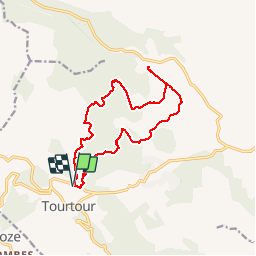

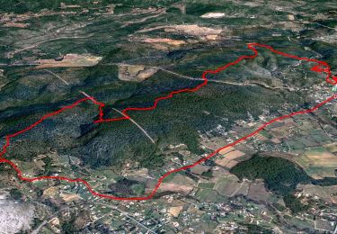
17,6 km | 24 km-effort


Utilisateur


Application GPS de randonnée GRATUITE
 SityTrail
IGN / Instituts géographiques
SityTrail World
Le monde est à vous
Randonnée Marche de 16,6 km à découvrir à Provence-Alpes-Côte d'Azur, Var, Tourtour. Cette randonnée est proposée par Sugg.
08-10-2014 Rando définitive.
Restons en forme,
28 randonneurs et randonneuses, pas de pluie malgré les prévisions !!!
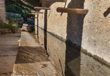
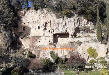
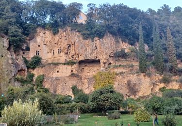
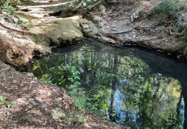
Parcours agréable et sans difficultés majeures, pique-nique près de la source.Visite du chemin de l'eau à Ampus au retour.
Marche
Marche

Marche

Autre activité

V.T.T.
V.T.T.
Marche
Marche
Marche
jcpmf13