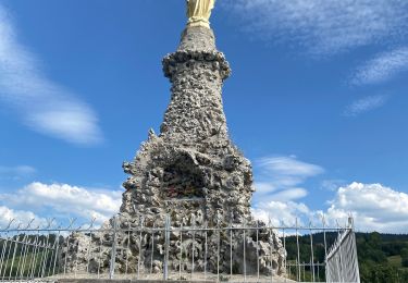
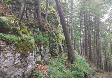
15 km | 21 km-effort
rando challenge
bubuserge
Utilisateur
Longueur
8,1 km
Altitude max
1275 m
Dénivelé positif
255 m
Km-Effort
11,3 km
Altitude min
1114 m
Dénivelé négatif
186 m
Boucle
Non
Date de création :
2014-12-10 00:00:00.0
Dernière modification :
2020-05-16 14:33:12.328
2h58
Difficulté : Difficile
Application GPS de randonnée GRATUITE
À propos
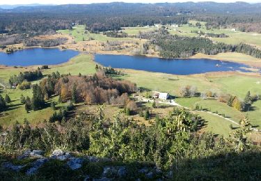
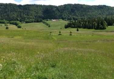
Randonnée Marche de 8,1 km à découvrir à Bourgogne-Franche-Comté, Doubs, Chapelle-des-Bois. Cette randonnée est proposée par bubuserge.
Localisation
Pays :
France
Région :
Bourgogne-Franche-Comté
Département/Province :
Doubs
Commune :
Chapelle-des-Bois
Localité :
Unknown
Départ:(Dec)
Départ:(UTM)
279653 ; 5166001 (32T) N.
Commentaires
Randonnées à proximité
roche Bernard
Marche
Moyen
(1)
Chapelle-des-Bois,
Bourgogne-Franche-Comté,
Doubs,
France
4h 33min
Oui
ROCHE CHAMPION
Marche
Facile
(2)
Chapelle-des-Bois,
Bourgogne-Franche-Comté,
Doubs,
France
8,6 km | 13,6 km-effort
1h 50min
Oui
Lac de Bellefontaine er lac des Mortes .
Marche
Facile
Bellefontaine,
Bourgogne-Franche-Comté,
Jura,
France
9,5 km | 11,5 km-effort
2h 33min
Oui
Roche Champion et Bernard 11.7.24
Marche
Moyen
Chapelle-des-Bois,
Bourgogne-Franche-Comté,
Doubs,
France
11,5 km | 16,6 km-effort
3h 45min
Oui
Risoux
V.T.C.
Très facile
(1)
Chapelle-des-Bois,
Bourgogne-Franche-Comté,
Doubs,
France
21 km | 27 km-effort
2h 0min
Non
Le pré-poncet par le petit pont et la forêt
Marche
Moyen
Châtelblanc,
Bourgogne-Franche-Comté,
Doubs,
France
5,9 km | 7,7 km-effort
1h 44min
Oui
Chapelle 6.5 km 20240114
Raquettes à neige
Très facile
(1)
Chapelle-des-Bois,
Bourgogne-Franche-Comté,
Doubs,
France
6,5 km | 8,5 km-effort
1h 36min
Oui
Circuit Creux Maldru
Marche
Foncine-le-Haut,
Bourgogne-Franche-Comté,
Jura,
France
14,7 km | 20 km-effort
5h 32min
Oui
Des lacs de Bellefontaine vers le belvédère de la roche Bernard.
Marche
Difficile
Bellefontaine,
Bourgogne-Franche-Comté,
Jura,
France
5,8 km | 8,7 km-effort
1h 53min
Oui