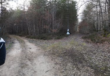
9,1 km | 10,9 km-effort
Rando de Pezou V2
Jean LABADIE
Utilisateur
Longueur
16,4 km
Altitude max
149 m
Dénivelé positif
210 m
Km-Effort
19,2 km
Altitude min
85 m
Dénivelé négatif
210 m
Boucle
Oui
Date de création :
2023-01-13 16:11:17.364
Dernière modification :
2023-02-03 15:45:35.495
1h09
Difficulté : Facile
Application GPS de randonnée GRATUITE
À propos
Randonnée Marche de 16,4 km à découvrir à Centre-Val de Loire, Loir-et-Cher, Pezou. Cette randonnée est proposée par Jean LABADIE.
Localisation
Pays :
France
Région :
Centre-Val de Loire
Département/Province :
Loir-et-Cher
Commune :
Pezou
Localité :
Unknown
Départ:(Dec)
Départ:(UTM)
360994 ; 5303091 (31T) N.
Commentaires
Randonnées à proximité
La Chapelle-Enchérie - Bois de Bricsard
Marche
Facile
La Chapelle-Enchérie,
Centre-Val de Loire,
Loir-et-Cher,
France
2h 20min
Oui
Lisle - Bord du Loir
Marche
Facile
Lisle,
Centre-Val de Loire,
Loir-et-Cher,
France
8,9 km | 9,5 km-effort
2h 9min
Oui
Saint-Firmin-des-Prés
Marche
Facile
Saint-Firmin-des-Prés,
Centre-Val de Loire,
Loir-et-Cher,
France
8,9 km | 9,9 km-effort
1h 58min
Oui
Lisle - Bois de l'Epau
Marche
Facile
Lisle,
Centre-Val de Loire,
Loir-et-Cher,
France
8,9 km | 10,2 km-effort
2h 19min
Oui
Renay - Champs Bois Chapelle Eglise
Marche
Moyen
Renay,
Centre-Val de Loire,
Loir-et-Cher,
France
13,8 km | 15,8 km-effort
3h 35min
Oui
balade la chapelle en encherie
Marche
Très facile
La Chapelle-Enchérie,
Centre-Val de Loire,
Loir-et-Cher,
France
6,4 km | 7,6 km-effort
1h 45min
Oui
St Firmin Mjo
Marche
Facile
Saint-Firmin-des-Prés,
Centre-Val de Loire,
Loir-et-Cher,
France
16 km | 17,9 km-effort
3h 9min
Oui
Rando de lisle
Marche
Moyen
(1)
Lisle,
Centre-Val de Loire,
Loir-et-Cher,
France
18,7 km | 21 km-effort
4h 21min
Oui
Busloup
Marche
Facile
Busloup,
Centre-Val de Loire,
Loir-et-Cher,
France
21 km | 25 km-effort
3h 8min
Oui