


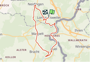

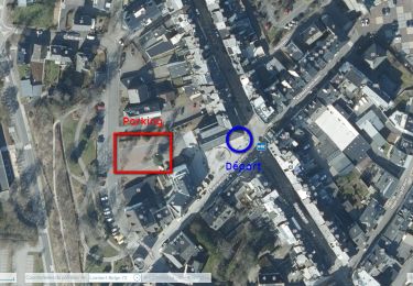
16,1 km | 19,5 km-effort

Utilisateur


Application GPS de randonnée GRATUITE
 SityTrail
IGN / Instituts géographiques
SityTrail World
Le monde est à vous
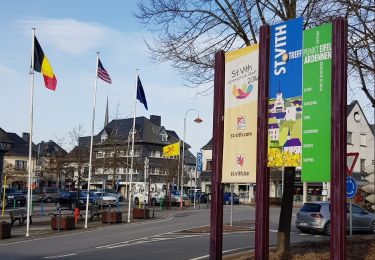
Randonnée Marche de 16,1 km à découvrir à Wallonie, Liège, Saint-Vith. Cette randonnée est proposée par vvinzz.
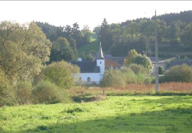
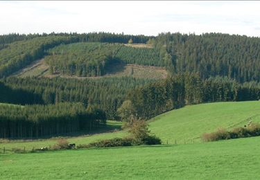
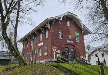
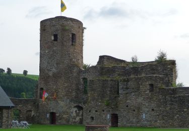
Un peu de Ravel, un peu de chemin forestier, à travers les collines verdoyante, une jolie balade paisible sans grandes difficultés.
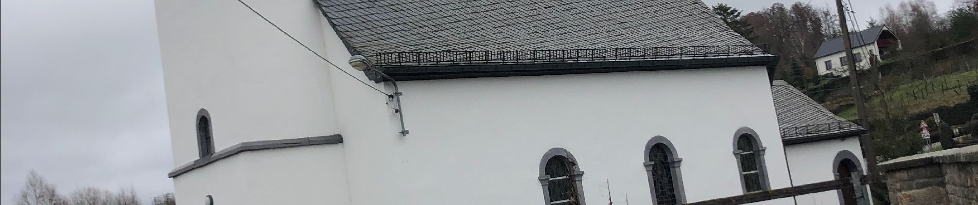
Attention : fin décembre 2022, un pont était fermé (voir photo) avec une déviation mise en place.


Marche
Marche
Marche
Marche
Marche
Marche
Marche
A pied