


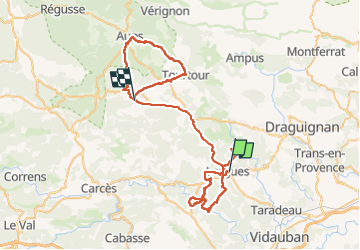

16,5 km | 23 km-effort


Utilisateur


Application GPS de randonnée GRATUITE
 SityTrail
IGN / Instituts géographiques
SityTrail World
Le monde est à vous
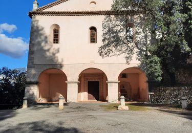
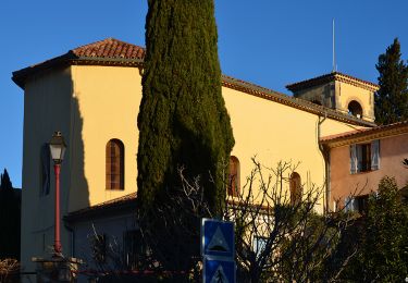
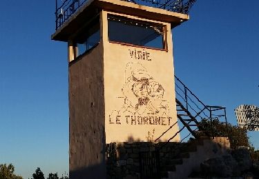
Randonnée V.T.C. de 71 km à découvrir à Provence-Alpes-Côte d'Azur, Var, Lorgues. Cette randonnée est proposée par infotekary.
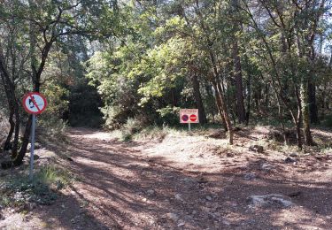
Attention à ne pas prendre la piste de Tourtour à Villecroze: tres pentue et très rocailleuse elle est réservée aux piétons ou aux cascadeurs !
Marche
Marche

Marche
Marche
Marche
Marche
Marche
Marche
Marche nordique