


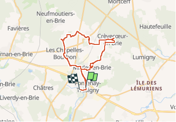

19,4 km | 22 km-effort


Utilisateur GUIDE


Application GPS de randonnée GRATUITE
 SityTrail
IGN / Instituts géographiques
SityTrail World
Le monde est à vous
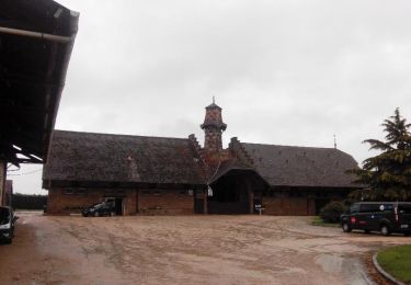
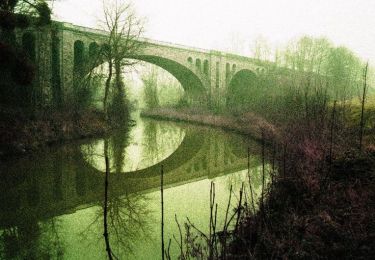
Randonnée Marche de 27 km à découvrir à Île-de-France, Seine-et-Marne, Fontenay-Trésigny. Cette randonnée est proposée par chessyca.
Des petits villages super sympas mais une rando impossible à faire en raison du nombre de chemins privés du coin... a moins d'aimer le goudron et les routes
Marche
Marche

Marche
Marche
Marche

Marche
Marche
Marche
Marche