


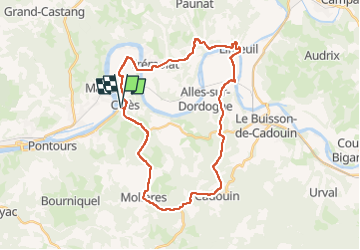

13,5 km | 17,9 km-effort


Utilisateur


Application GPS de randonnée GRATUITE
 SityTrail
IGN / Instituts géographiques
SityTrail World
Le monde est à vous
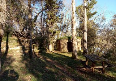
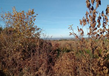
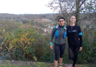
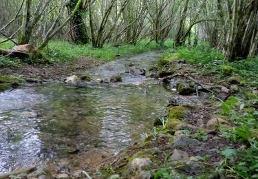
Randonnée V.T.T. de 33 km à découvrir à Nouvelle-Aquitaine, Dordogne, Calès. Cette randonnée est proposée par amelie14.
Principalement de la route sur ce circuit (seulement une portion de chemin herbeux) où le VTT est appréciable pour le confort et le braquet dans le dénivelé positif :-)
Marche

Marche

Marche
Marche
Marche
Marche
Marche
Marche
Marche