


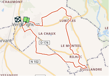


9 km | 11,6 km-effort

Utilisateur GUIDE


Application GPS de randonnée GRATUITE
 SityTrail
IGN / Instituts géographiques
SityTrail World
Le monde est à vous
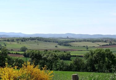
Randonnée Marche de 10,3 km à découvrir à Auvergne-Rhône-Alpes, Haute-Loire, Vergongheon. Cette randonnée est proposée par jagarnier.
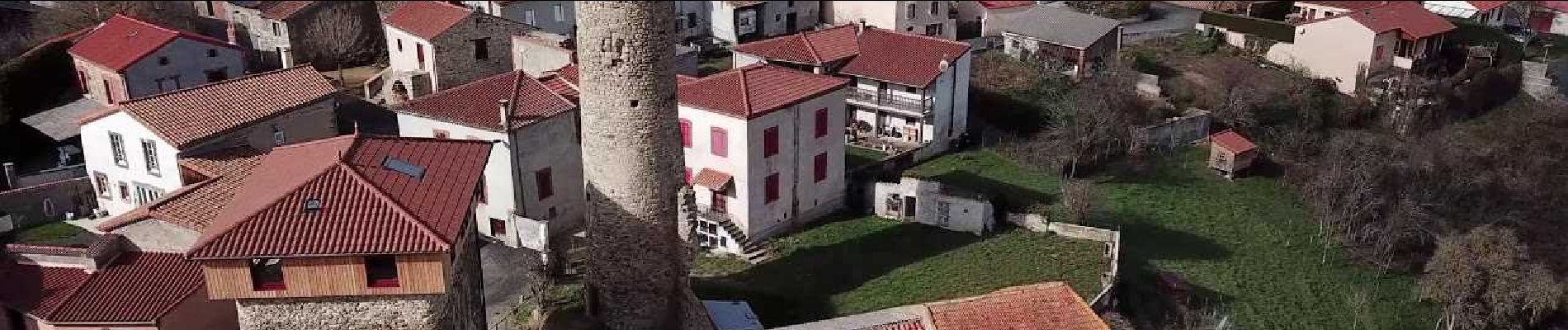
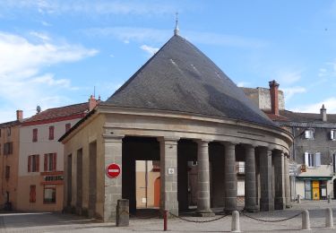
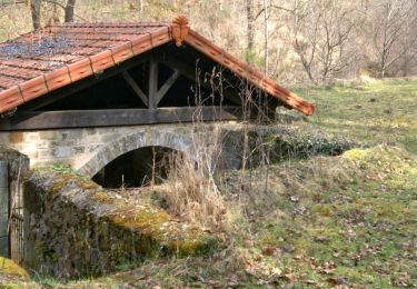
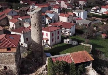
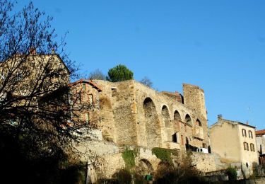
Briques et Tuiles s'affichent partout dans les villages, rappelant la nature argilo-sableuse du sous-sol. De belles constructions en pisé sont aussi au rendez-vous de cette boucle très terre à terre.

A pied
Marche
Marche
Marche
Marche
Marche
Marche
Marche