


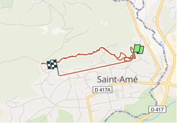

8,6 km | 12,6 km-effort


Utilisateur


Application GPS de randonnée GRATUITE
 SityTrail
IGN / Instituts géographiques
SityTrail World
Le monde est à vous
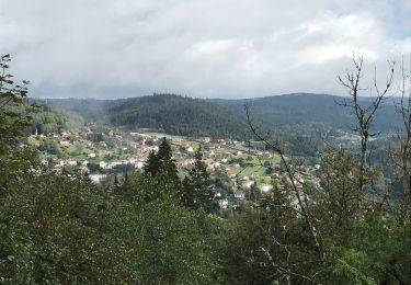
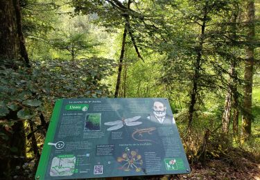
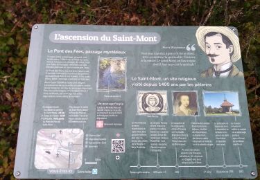
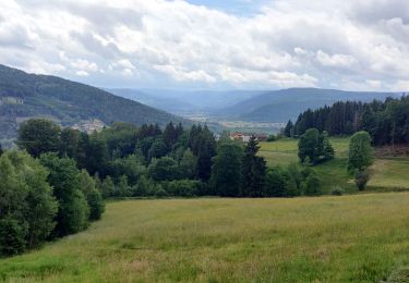
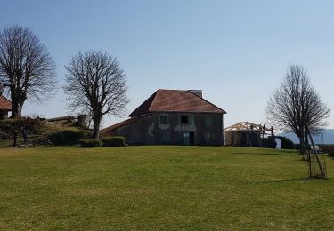
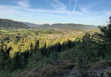
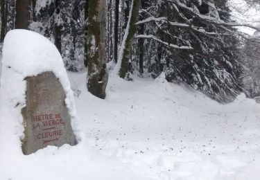
Randonnée Course à pied de 4,4 km à découvrir à Grand Est, Vosges, Saint-Amé. Cette randonnée est proposée par bruno.henry.
Entr1

Marche

Marche
Marche
Marche
Marche
Randonnée équestre
Marche
Marche
Marche